Chest opened
+${chestReward.xp} XP
Explorer
NOUVEAU ×${chestReward.collectible.quantity}
tapez pour fermer

See the monuments around you in AR Open chests in the app

Around Us is built for your phone — point your camera at the streets and discover the monuments and places around you in augmented reality. Around Us is built for your phone — chests unlock when you walk, explore and capture nearby places.

•

Enable Location

We need your location to show you interesting places around you

Discover nearby places

Find interesting locations and hidden gems around you

Precise directions

Get accurate directions and distances to places

Your location is never shared with other users. It's only used when you tap the location button.

Athamanika

Log in to your account

Start exploring — it's free

Trusted by 94,388 travelers worldwide

Continue with Google
Continue with Apple
or

We will send you a code to connect

By continuing, you accept our Terms and Conditions and our Privacy Policy

Check your inbox

We've sent a pincode in your inbox. Please enter the code below.

Athamanika

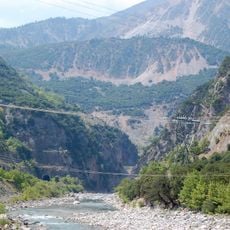
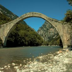
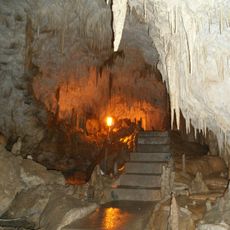
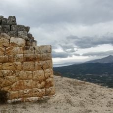
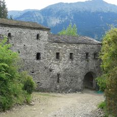
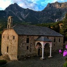
Athamanika, Mountain range in Arta, Ioannina, Karditsa and Trikala regional units, Greece

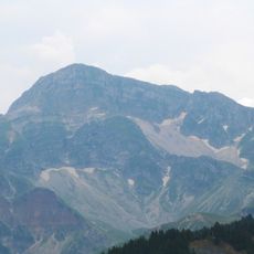
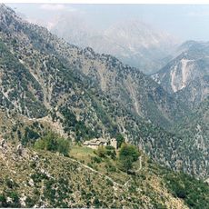
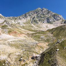
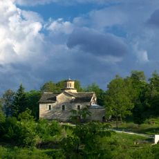
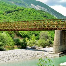
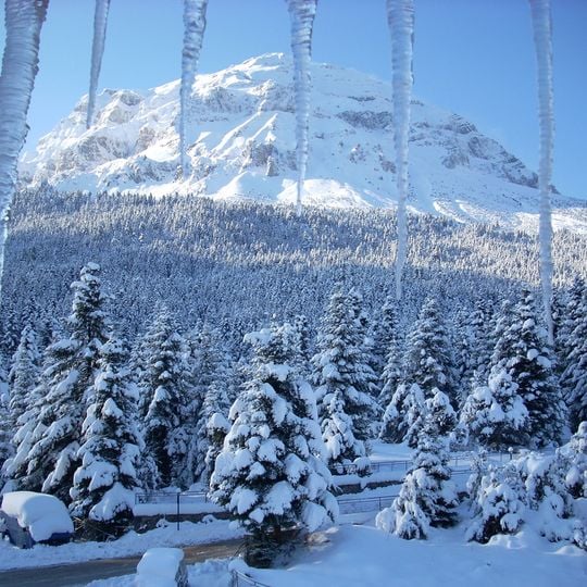
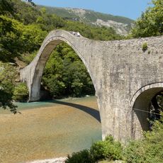
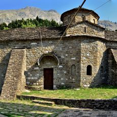
Athamanika is a mountain range in Epirus that spans across a large area with its highest peak exceeding 2,400 meters. The mountains form a complex system of peaks and valleys, with dense forests and rocky ridges characteristic of Greek highlands.

During the Axis occupation of Greece from 1941 to 1944, the Athamanika range was the main base of the EDES resistance organization. Its forests and high ridges between the Arachthos and Achelous rivers gave the fighters cover. Earlier, under Ottoman rule, the Tzoumerka villages held privileges as "Kefalochoria", and Katsonis, a noted kapetanios, came from this area.

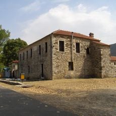
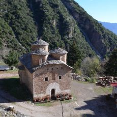
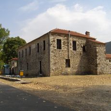
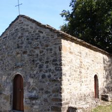
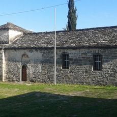
The villages scattered across the slopes maintain traditional crafts and local ways of life passed down through generations. Visitors can see how mountain communities continue to rely on practices shaped by the terrain and climate of this region.

The mountains are accessible from several directions, with trails ranging from gentle walks to challenging routes suited to different skill levels. Weather changes can happen quickly at higher elevations, so preparation and proper gear are important before setting out.

The name Tzoumerka comes from a Slavic word for hellebore (čemerika), a plant of the high pastures. The range's other name, Athamanika, recalls the Athamanes, the ancient tribe settled here that flourished in the 3rd and 2nd centuries BC.

The community of curious travelers

AroundUs brings together thousands of curated places, local tips, and hidden gems, enriched daily by 94,388 contributors worldwide.

Start exploring
Elevation above the sea
2,429 m
GPS coordinates
39.48333,21.20000
Latest update
October 26, 2026 03:56
Reviews
Share your experience

No review yet

Discussions
Start a discussion...

No discussion yet

« Athamanika - Mountain range in Arta, Ioannina, Karditsa and Trikala regional units, Greece » is provided by Around Us (aroundus.com). Images and texts are derived from Wikimedia project under a Creative Commons license. You are allowed to copy, distribute, and modify copies of this page, under the conditions set by the license, as long as this note is clearly visible.

Discover hidden gems everywhere you go!

From secret cafés to breathtaking viewpoints, skip the crowded tourist spots and find places that match your style. Our app makes it easy with voice search, smart filtering, route optimization, and insider tips from travelers worldwide. Download now for the complete mobile experience.
Around Us App Screenshot
❝

A unique approach to discovering new places❞

— Le Figaro

❝

All the places worth exploring❞

— France Info

❝

A tailor-made excursion in just a few clicks❞

— 20 Minutes

Around Us
Travel Guide & Maps
Download

Send to your phone

QR Code
1

Open the camera app on your mobile.

2

Point at the QR code with your camera. A notification will appear.

3

Tap the notification to open the link.