
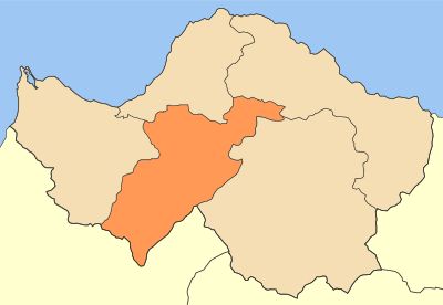
Municipality of Erymanthos, municipality in the Achaea regional unit, West Greece region, Greece
Location: Achaia Regional Unit
GPS coordinates: 38.00316,21.75161
Latest update: March 3, 2025 01:39
Achaia Clauss
21.6 km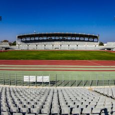
Pampeloponnisiako Stadium
24.3 km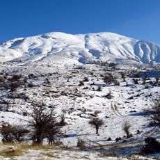
Panachaiko
23.9 km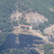
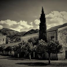
Makelaria Monastery
22.8 km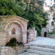
Panagia Chrysopodaritissa Monastery
10.1 km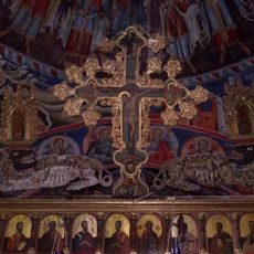
Agion Panton monastery, Tritaia
1.8 km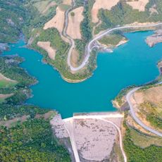
Lake Velimáchí
3.3 km
Panagitsa
22.8 km
Vervenikos
20.9 km
Sidirokastro in Achaea
18.2 km
Egyptokastro
13.6 km
Castle of Tartaris
27.5 km
Chalandritsa Tower
12.1 km
Lygias
22.7 km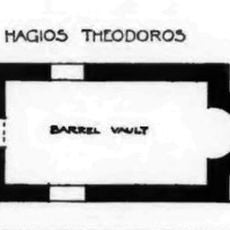
Church of Hagios Theodoros (Chalandritsa)
11.7 km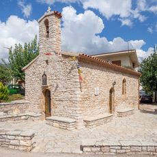
Church of Saint John the Baptist (Chalandritsa)
11.9 km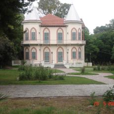
Kolla Mansion
24.1 km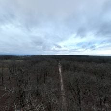
Δρυοδάσος Φολόης
24 km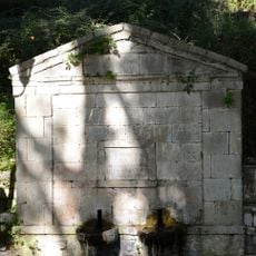
Public fountain at Morios Ileias
16.3 km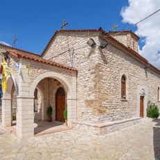
Church of Kimisis tis Theotokou
11.9 km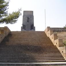
Heroon of the 1821 Fighters, Kalavryta
28.4 km
Church of Agios Athanasios
11.9 km
Primary School, Lambeia (Divris)
16.6 km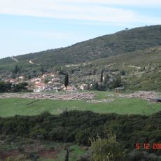
Ancient Chalandritsa
12.1 km
Mount Erymanthos
5.9 km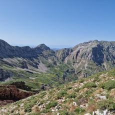
Mount Erymanthos
8.2 km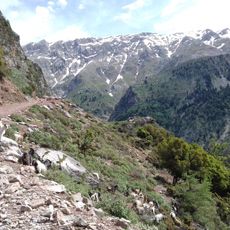
Όρος Ξαρχιτικα
6.3 km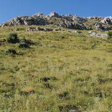
Όρος Ερύμανθος Όρος
7.8 kmReviews
Visited this place? Tap the stars to rate it and share your experience / photos with the community! Try now! You can cancel it anytime.
Discover hidden gems everywhere you go!
From secret cafés to breathtaking viewpoints, skip the crowded tourist spots and find places that match your style. Our app makes it easy with voice search, smart filtering, route optimization, and insider tips from travelers worldwide. Download now for the complete mobile experience.

A unique approach to discovering new places❞
— Le Figaro
All the places worth exploring❞
— France Info
A tailor-made excursion in just a few clicks❞
— 20 Minutes