Enable Location

We need your location to show you interesting places around you

Discover nearby places

Find interesting locations and hidden gems around you

Precise directions

Get accurate directions and distances to places

Your location is never shared with other users. It's only used when you tap the location button.

Mount Erymanthos

Log in to your account

Start exploring — it's free

Trusted by 62,564 travelers worldwide

Continue with Google
Continue with Apple
or

We will send you a code to connect

By continuing, you accept our Terms and Conditions and our Privacy Policy

Check your inbox

We've sent a pincode in your inbox. Please enter the code below.

Mount Erymanthos

Mount Erymanthos

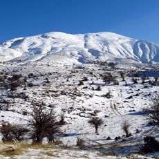
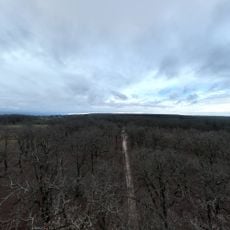
Mount Erymanthos is a mountain range in the northern Peloponnese of Greece, stretching across the regions of Achaea and Elis. It consists of several main peaks including Olenos at approximately 2224 meters elevation, along with Granitis and a third peak also called Erymanthos, with the highest point rising above the tree line.

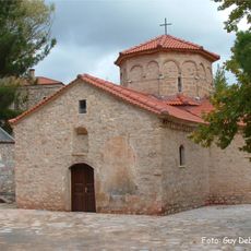
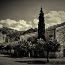
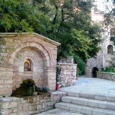
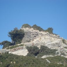
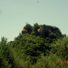
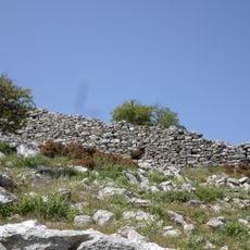
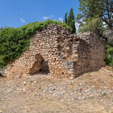
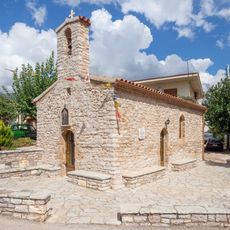
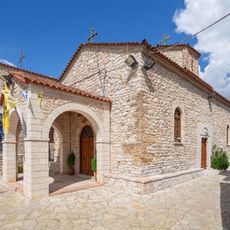
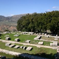
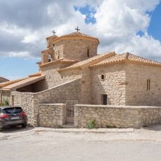
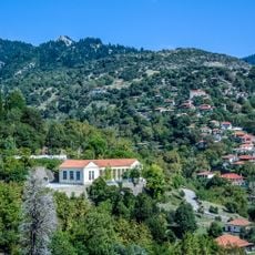
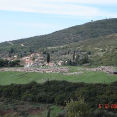
The mountain was historically part of the region of Arcadia in ancient times, with its name dating back to ancient Greece. Over the centuries, settlements and trails were established across the area, and after wars and earthquakes, many villages were rebuilt and adapted.

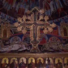
The mountain holds a place in Greek mythology as the legendary home of the Erymanthian Boar featured in stories of Hercules. Local villages around it maintain connections to these ancient tales through their traditions and the way they speak about their land.

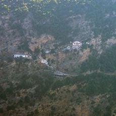
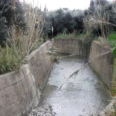
The mountain is accessible year-round but offers different conditions depending on the season, with winter bringing snow-covered paths and tricky stream crossings while summer provides flowing water sources and cooler air for walkers. Visitors should follow color-marked trails, bring proper clothing and equipment, and plan carefully, especially during winter months when snow can make travel harder.

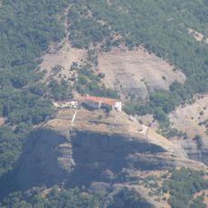
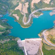
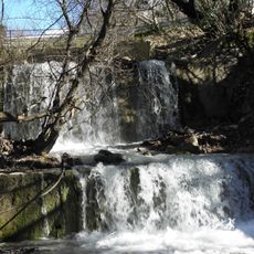
The third peak called Erymanthos itself is not the highest point but carries the name of the entire mountain range and forms part of the watershed feeding the Erymanthos River. Visitors often overlook this summit in favor of the higher Olenos and Granitis, though it holds a special connection to the local water systems and the mountain's namesake.

The community of curious travelers

AroundUs brings together thousands of curated places, local tips, and hidden gems, enriched daily by 60,000 contributors worldwide.

Start exploring
Address
Mount Erymanthos, Tritaia 250 15, Greece
GPS coordinates
37.96667,21.80000
Latest update
December 22, 2025 09:12
« Mount Erymanthos » is provided by Around Us (aroundus.com). Images and texts are derived from Wikimedia project under a Creative Commons license. You are allowed to copy, distribute, and modify copies of this page, under the conditions set by the license, as long as this note is clearly visible.

Discover hidden gems everywhere you go!

From secret cafés to breathtaking viewpoints, skip the crowded tourist spots and find places that match your style. Our app makes it easy with voice search, smart filtering, route optimization, and insider tips from travelers worldwide. Download now for the complete mobile experience.

Around Us App Screenshot

A unique approach to discovering new places

Le Figaro

All the places worth exploring

France Info

A tailor-made excursion in just a few clicks

20 Minutes

Around Us
Travel Guide & Maps
Download

Send to your phone

QR Code
1

Open the camera app on your mobile.

2

Point at the QR code with your camera. A notification will appear.

3

Tap the notification to open the link.