Enable Location

We need your location to show you interesting places around you

Discover nearby places

Find interesting locations and hidden gems around you

Precise directions

Get accurate directions and distances to places

Your location is never shared with other users. It's only used when you tap the location button.

Santorini caldera

Log in to your account

Start exploring — it's free

Trusted by 61,562 travelers worldwide

Continue with Google
Continue with Apple
or

We will send you a code to connect

By continuing, you accept our Terms and Conditions and our Privacy Policy

Check your inbox

We've sent a pincode in your inbox. Please enter the code below.

Santorini caldera

Santorini caldera, Volcanic caldera in Thira Municipality, Greece

Description

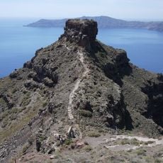
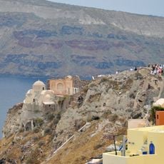
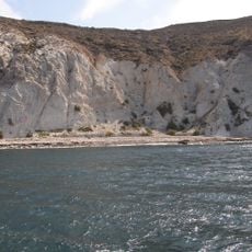
This caldera is a crescent-shaped body of water surrounded by vertical rock faces of layered pumice and ash, spanning the western coast of several islands. Two small islands rise from the center, showing bare black and reddish lava rock with no vegetation.

History

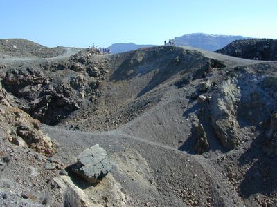
The explosion in the second millennium BCE caused the island center to collapse into the sea, triggering waves across the eastern Mediterranean. Later eruptions created the central islands in the 16th and 20th centuries CE, with the last major activity occurring in the 1950s.

Culture

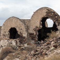
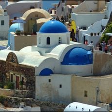
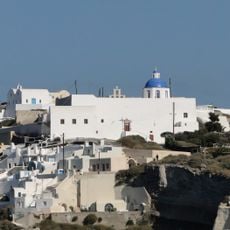
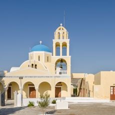
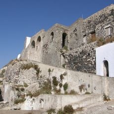
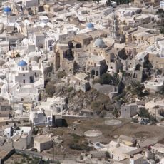
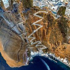
The settlements along the rim use the steep slopes for cave houses carved into volcanic rock, their thick walls naturally cool in summer heat. Local vintners grow vines directly in black lava soil, shaping the grapes into low basket forms to shield them from the winds.

Practical

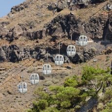
Walking paths along the rim connect the villages and offer open views over the water, with early mornings or late afternoons less crowded. Steps and uneven cobblestones require sturdy footwear, while direct sun in summer calls for shade and protection.

Did you know?

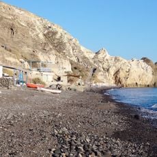
The seawater inside the caldera is far deeper than the surrounding Aegean and maintains a different temperature through volcanic vents on the floor. Some spots show rising bubbles and discolored water where hot mineral water emerges from the seafloor.

Elevation above the sea
367 m
GPS coordinates
36.40443,25.39586
Latest update
December 12, 2025 17:54

AroundUs brings together thousands of curated places, local tips, and hidden gems, enriched daily by 60,000 contributors worldwide. Discover all places nearby (Thira Municipality).

Active volcanoes worldwide: online map

This collection brings together active volcanoes located on multiple continents, from Cotopaxi in the Ecuadorian Andes to Mount Fuji in Japan, including Vesuvius in Italy and Mauna Loa in Hawaii. Each site demonstrates different geological processes: stratovolcanoes like Mount Saint Helens and Etna...

« Santorini caldera - Volcanic caldera in Thira Municipality, Greece » is provided by Around Us (aroundus.com). Images and texts are derived from Wikimedia project under a Creative Commons license. You are allowed to copy, distribute, and modify copies of this page, under the conditions set by the license, as long as this note is clearly visible.

Discover hidden gems everywhere you go!

From secret cafés to breathtaking viewpoints, skip the crowded tourist spots and find places that match your style. Our app makes it easy with voice search, smart filtering, route optimization, and insider tips from travelers worldwide. Download now for the complete mobile experience.

Around Us App Screenshot

A unique approach to discovering new places

Le Figaro

All the places worth exploring

France Info

A tailor-made excursion in just a few clicks

20 Minutes

Around Us
Travel Guide & Maps
Download

Send to your phone

QR Code
1

Open the camera app on your mobile.

2

Point at the QR code with your camera. A notification will appear.

3

Tap the notification to open the link.