
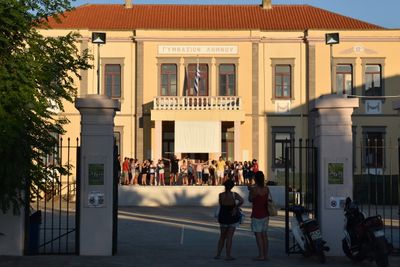
High School building, Myrina, building in Limnos Municipality, Greece
Location: Limnos Municipality
Inception: 1925
GPS coordinates: 39.88018,25.06292
Latest update: March 9, 2025 04:39

Mount Athos
69.9 km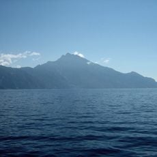
Athos
69.9 km
Imbros
72.5 km
Great Lavra
66.4 km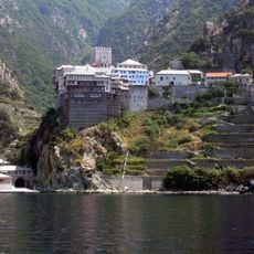
Dionysiou Monastery
74.5 km
Prodromos
64.9 km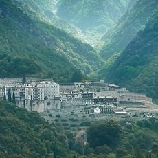
Agiou Pavlou monastery
73 km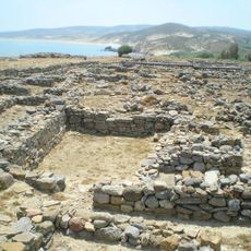
Poliochne
24.1 km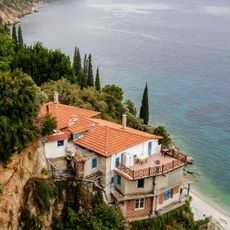
Skete of Saint Anne
71.4 km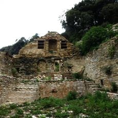
Monastery of the Amalfitani
71.5 km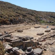
Kabirion
26.2 km
Skete Hagias Triados
67 km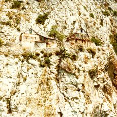
Karoulia
70.8 km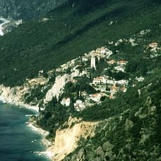
New Skete
72.3 km
Gizli Liman
58.7 km
Uğurlu
62.3 km
Uğurlu Plajı
60.5 km
Archaeological museum of Lemnos
57 m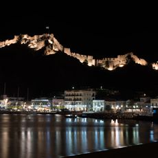
Myrina Castle
664 m
Tigani islet
5.7 km
Marmaros
68.1 km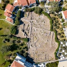
Sanctuary of Artemis at Avlonas (Lemnos)
1.5 km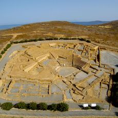
Ancient Greek theatre of Hephaistia
23.7 km
Democracy Museum
38.4 km
Church of Agios Georgios in Repanidi
20.7 km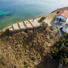
Kotsinas Fortress
20.2 km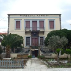
Turkish administration building, Limnos
54 m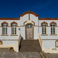
Dimitriadeios School, Kontopouli
23.5 kmReviews
Visited this place? Tap the stars to rate it and share your experience / photos with the community! Try now! You can cancel it anytime.
Discover hidden gems everywhere you go!
From secret cafés to breathtaking viewpoints, skip the crowded tourist spots and find places that match your style. Our app makes it easy with voice search, smart filtering, route optimization, and insider tips from travelers worldwide. Download now for the complete mobile experience.

A unique approach to discovering new places❞
— Le Figaro
All the places worth exploring❞
— France Info
A tailor-made excursion in just a few clicks❞
— 20 Minutes