Enable Location

We need your location to show you interesting places around you

Discover nearby places

Find interesting locations and hidden gems around you

Precise directions

Get accurate directions and distances to places

Your location is never shared with other users. It's only used when you tap the location button.

Dreux

Log in to your account

Start exploring — it's free

Trusted by 63,615 travelers worldwide

Continue with Google
Continue with Apple
or

We will send you a code to connect

By continuing, you accept our Terms and Conditions and our Privacy Policy

Check your inbox

We've sent a pincode in your inbox. Please enter the code below.

Discussion Reviews 4 Photos
93.4k Popularity

Dreux, Commune center in Eure-et-Loir, France

Dreux is a commune center in Eure-et-Loir on the Blaise River, located about 50 miles (80 kilometers) west of Paris. The administrative structure includes three cantons and belongs to the arrondissement of the same name.

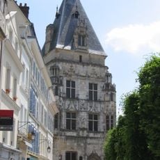
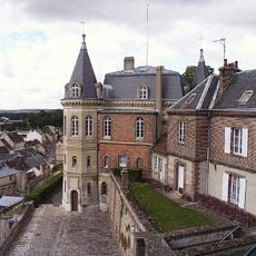
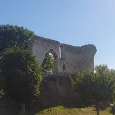
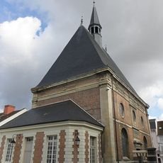
The Celtic Durocasses tribe founded Durocassium here, which later became a Roman castrum called Drocas. During the Middle Ages, the settlement developed into a fortified town with strategic importance on the border with Normandy.

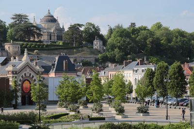
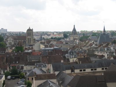
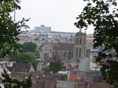
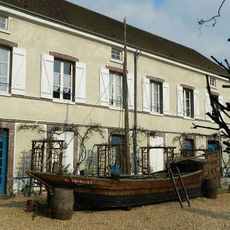
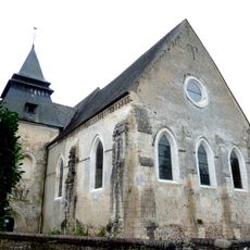
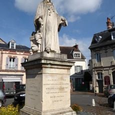
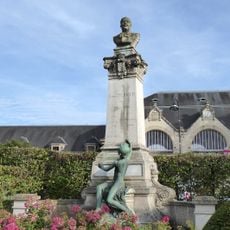
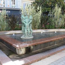
The old town clusters around the Saint-Pierre church, where local markets recall centuries of trade between merchants and residents from the surrounding countryside. This central square connects the historic quarters with newer residential areas on the outskirts.

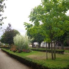
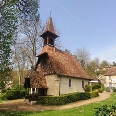
Train connections bring travelers to the capital in under an hour, while hiking paths cross through the green areas. Public squares and markets concentrate in the center around the church.

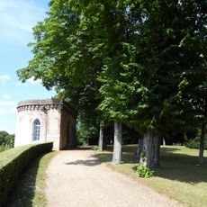
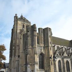
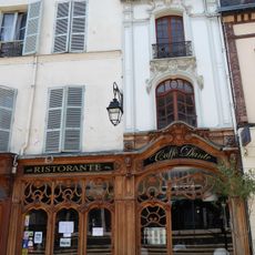
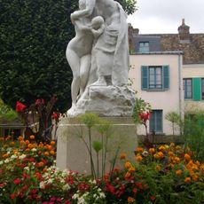
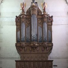
The royal chapel houses tombs of the Orleans family and displays stained glass from the 1800s. Visitors often notice the contrasts between medieval lanes and wide avenues in the newer districts.

The community of curious travelers

AroundUs brings together thousands of curated places, local tips, and hidden gems, enriched daily by 60,000 contributors worldwide.

Start exploring
Location
Capital city
bailliage de Dreux
Elevation above the sea
119 m
Shares border with
Vernouillet, Vert-en-Drouais, Cherisy, Muzy, Montreuil, Sainte-Gemme-Moronval, Luray
Phone
GPS coordinates
48.73639,1.36556
Latest update
December 13, 2025 15:32
Reviews
Share your experience

No review yet

Discussions
Start a discussion...

No discussion yet

« Dreux - Commune center in Eure-et-Loir, France » is provided by Around Us (aroundus.com). Images and texts are derived from Wikimedia project under a Creative Commons license. You are allowed to copy, distribute, and modify copies of this page, under the conditions set by the license, as long as this note is clearly visible.

Discover hidden gems everywhere you go!

From secret cafés to breathtaking viewpoints, skip the crowded tourist spots and find places that match your style. Our app makes it easy with voice search, smart filtering, route optimization, and insider tips from travelers worldwide. Download now for the complete mobile experience.

Around Us App Screenshot

A unique approach to discovering new places

Le Figaro

All the places worth exploring

France Info

A tailor-made excursion in just a few clicks

20 Minutes

Around Us
Travel Guide & Maps
Download

Send to your phone

QR Code
1

Open the camera app on your mobile.

2

Point at the QR code with your camera. A notification will appear.

3

Tap the notification to open the link.