Enable Location

We need your location to show you interesting places around you

Discover nearby places

Find interesting locations and hidden gems around you

Precise directions

Get accurate directions and distances to places

Your location is never shared with other users. It's only used when you tap the location button.

Saint-Dié-des-Vosges

Log in to your account

Start exploring — it's free

Trusted by 62,502 travelers worldwide

Continue with Google
Continue with Apple
or

We will send you a code to connect

By continuing, you accept our Terms and Conditions and our Privacy Policy

Check your inbox

We've sent a pincode in your inbox. Please enter the code below.

Saint-Dié-des-Vosges

Saint-Dié-des-Vosges, Administrative center in Vosges, France

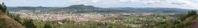
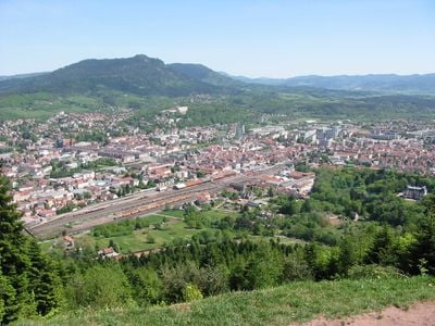
This town sits between several mountain ranges at 343 meters elevation, while the Meurthe River flows through its center. Its location near the German border shapes the setting of this commune in the Vosges department.

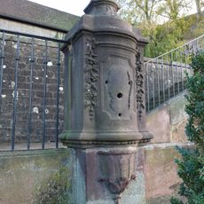
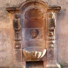
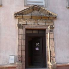
In November 1944, the town suffered severe destruction during World War II, which led to comprehensive rebuilding efforts. The reconstruction followed traditional building forms and largely preserved the townscape.

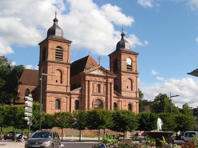
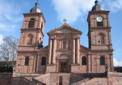
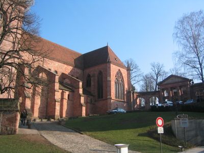
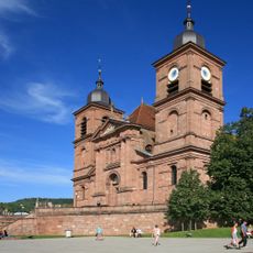
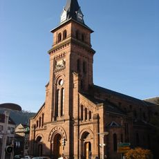
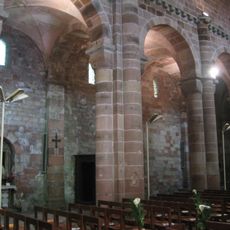
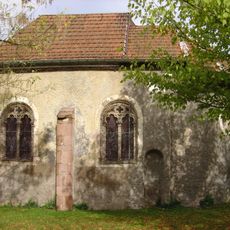
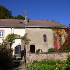
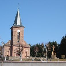
The Gothic cathedral combines several building phases under one roof and displays modern stained glass by Jean Bazaine. This combination of old walls and contemporary art shapes the interior of the church today.

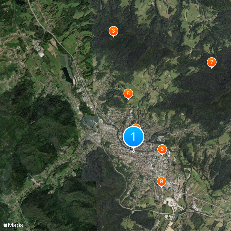
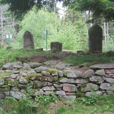
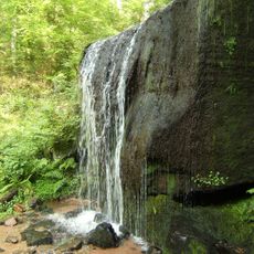
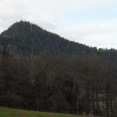
The municipal area includes 220 kilometers of marked hiking trails spread across four mountain ranges with different access points. Solid footwear and a map help with orientation in the forested elevations.

Local scholars first gave the American continent its name on a world map in 1507, which earned the town the nickname godmother of America. This connection to exploration history appears in several institutions and monuments.

The community of curious travelers

AroundUs brings together thousands of curated places, local tips, and hidden gems, enriched daily by 60,000 contributors worldwide.

Start exploring
Location
Elevation above the sea
442 m
Shares border with
Denipaire, Ban-de-Sapt, Hurbache, Mortagne, Nayemont-les-Fosses, Saint-Jean-d'Ormont, Sainte-Marguerite, Saint-Michel-sur-Meurthe, Saulcy-sur-Meurthe, Taintrux, La Voivre
Address
88100 Saint-Dié-des-Vosges, France
Phone
GPS coordinates
48.28417,6.94917
Latest update
December 13, 2025 17:40
« Saint-Dié-des-Vosges - Administrative center in Vosges, France » is provided by Around Us (aroundus.com). Images and texts are derived from Wikimedia project under a Creative Commons license. You are allowed to copy, distribute, and modify copies of this page, under the conditions set by the license, as long as this note is clearly visible.

Discover hidden gems everywhere you go!

From secret cafés to breathtaking viewpoints, skip the crowded tourist spots and find places that match your style. Our app makes it easy with voice search, smart filtering, route optimization, and insider tips from travelers worldwide. Download now for the complete mobile experience.

Around Us App Screenshot

A unique approach to discovering new places

Le Figaro

All the places worth exploring

France Info

A tailor-made excursion in just a few clicks

20 Minutes

Around Us
Travel Guide & Maps
Download

Send to your phone

QR Code
1

Open the camera app on your mobile.

2

Point at the QR code with your camera. A notification will appear.

3

Tap the notification to open the link.