Hérault, Mediterranean river in Languedoc-Roussillon, France.
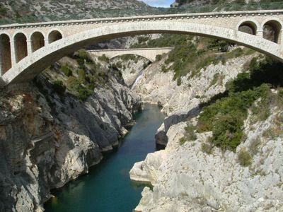
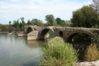
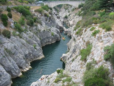
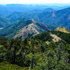
The Hérault is a river in the Languedoc-Roussillon region running approximately 148 kilometers from Mont Aigoual in the Cévennes to the Mediterranean coast near Agde. It cuts through limestone landscapes and feeds several lakes before reaching the sea.
The Romans called this waterway Arauris, suggesting pre-Celtic or Iberian roots. Over centuries, the river shaped settlement patterns and trade routes throughout the region.
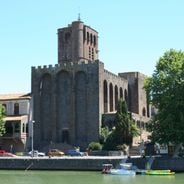
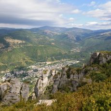
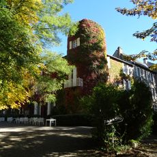
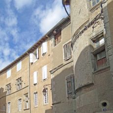
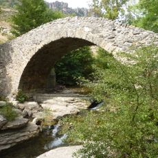
The river flows through Saint-Guilhem-le-Désert, where limestone canyons and medieval structures shape the landscape. This place draws visitors seeking to experience the connection between nature and historical architecture.
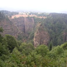
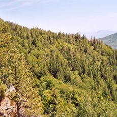
The river is accessible from the valley, particularly in sections at the Gorges de l'Hérault. Walking paths lead along the banks and allow visitors to explore various viewpoints.
Small amounts of gold particles from erosion of the Central Massif can be found along the riverbanks. These traces occasionally attract amateur prospectors hoping to discover tiny grains in the sediments.
Location: Hérault
GPS coordinates: 44.11528,3.55000
Latest update: December 6, 2025 16:02
Mont Aigoual
2.6 km
The Causses and the Cévennes, Mediterranean agro-pastoral Cultural Landscape
13.2 km
Abîme de Bramabiau
6 km
Nîmes-le-Vieux
13.1 km
Château de Roquedols
10.3 km
Observatoire météorologique du Mont Aigoual
2.6 km
Ronc Traoucat dolmens
12.7 km
Pises Observatory
9.2 km
Château d'Ayres
11.6 km
Arboretum de l'Hort de Dieu
2.6 km
Saint-Marcel-de-Fontfouilhouse church
12.8 km
Temple protestant de Meyrueis
11.8 kmArboretum de la Foux
13.3 km
Maison du Viguier
12 km
Église Saint-Pierre de Meyrueis
11.9 km
Église Saint-Martin d'Aulas
13.1 km
Église Notre-Dame-de-l'Assomption de Gatuzières
10.4 km
Église Saints-Pierre-et-Paul de Fraissinet-de-Fourques
11.1 km
Église Saint-Grégoire-et-Notre-Dame de Beaulieu
12.1 km
Église Saint-Sauveur de Camprieu
5.8 km
Église Notre-Dame-de-l'Assomption du Pompidou
12.2 km
Temple de l'Esperou
2.4 km
Église Notre-Dame de Dourbies
10.1 km
Pont des Six-Liards
11.8 km
Temple de Valleraugue
8.4 km
Chapelle Notre-Dame-du-Rocher de Meyrueis
12.1 km
Temple du Pompidou
12.1 km
Temple de l'Église protestante unie de France de Rousses
10.5 kmVisited this place? Tap the stars to rate it and share your experience / photos with the community! Try now! You can cancel it anytime.
Discover hidden gems everywhere you go!
From secret cafés to breathtaking viewpoints, skip the crowded tourist spots and find places that match your style. Our app makes it easy with voice search, smart filtering, route optimization, and insider tips from travelers worldwide. Download now for the complete mobile experience.
A unique approach to discovering new places❞
— Le Figaro
All the places worth exploring❞
— France Info
A tailor-made excursion in just a few clicks❞
— 20 Minutes