
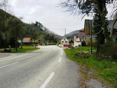
Linthal, commune in Haut-Rhin, France
Location: Haut-Rhin
Location: Communauté de communes de la Région de Guebwiller
Location: arrondissement of Thann-Guebwiller
Elevation above the sea: 463 m
Industry: administration publique générale
Shares border with: Lautenbach, Lautenbachzell, Ranspach, Oderen, Metzeral, Sondernach, Luttenbach-près-Munster, Wasserbourg, Fellering
Phone: +33389763234
Email: mairie.de.linthal@cegetel.net
Website: http://linthal.fr
GPS coordinates: 47.94667,7.13028
Latest update: June 5, 2025 18:05
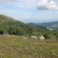
Ballons des Vosges Regional Natural Park
20.2 km
Petit Ballon
3.8 km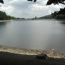
Lac de la Lauch
6.6 km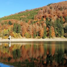
Lac du Ballon
4.6 km
Storkenkopf
5.9 km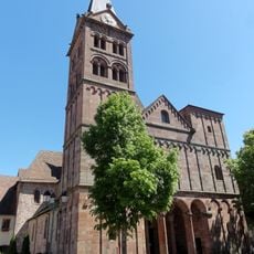
Church of St John the Baptist
2.2 km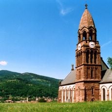
Église de l'Emm
7.9 km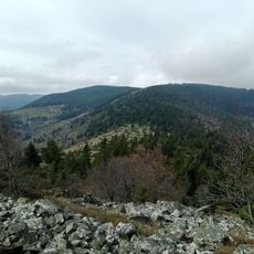
Le Hilsenfirst
3.9 km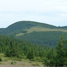
Le Lauchenkopf
6.9 km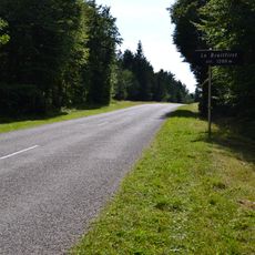
Le Breitfirst
7.7 km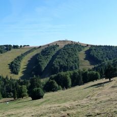
Le Jungfrauenkopf
8.2 km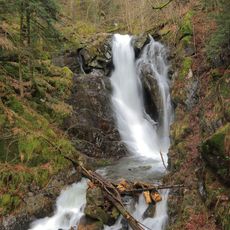
Cascade de la Lauch
6.1 km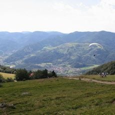
Trehkopf
8.8 km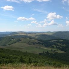
Le Hundskopf
6.3 km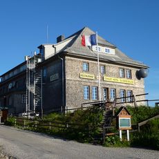
Chalet Hôtel du Grand Ballon
5.1 km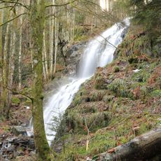
Cascade du Kletterbach
3.4 km
Bâtiment conventuel
2.2 km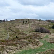
Hundskopf
9.6 km
Form Aventures
7.6 km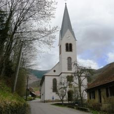
Église Sainte-Marie-Madeleine de Linthal
838 m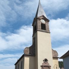
Église Saint-Pierre et Saint-Paul
1.5 km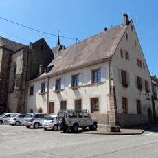
Abbaye de Lautenbach
2.2 km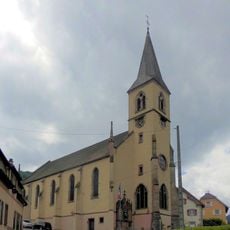
Église Saint-Nicolas de Sengern
784 m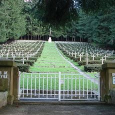
Sondernach National Cemetery
6.6 km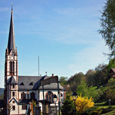
Église luthérienne de Sondernach
7.2 km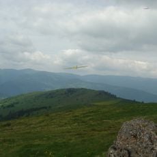
Le Steinberg
5.1 km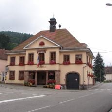
Mairie de Sondernach
7.1 km
Orgue de tribune de l'église Saint-Jean-Baptiste de Lautenbach
2.2 kmVisited this place? Tap the stars to rate it and share your experience / photos with the community! Try now! You can cancel it anytime.
Discover hidden gems everywhere you go!
From secret cafés to breathtaking viewpoints, skip the crowded tourist spots and find places that match your style. Our app makes it easy with voice search, smart filtering, route optimization, and insider tips from travelers worldwide. Download now for the complete mobile experience.

A unique approach to discovering new places❞
— Le Figaro
All the places worth exploring❞
— France Info
A tailor-made excursion in just a few clicks❞
— 20 Minutes