Plouhinec, commune in Morbihan, France
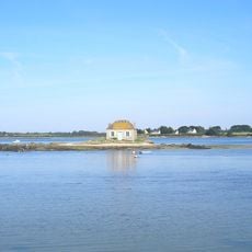
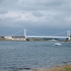
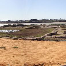
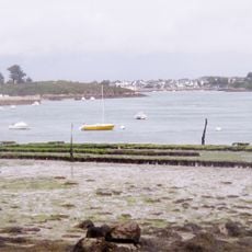
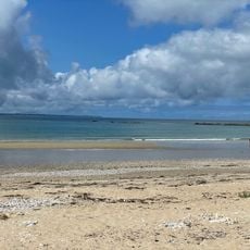
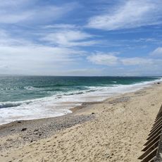
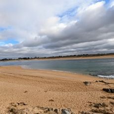
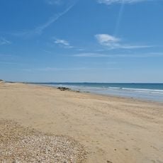
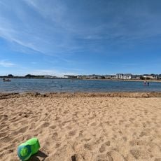
Plouhinec is a small coastal commune in Brittany, France, located in the Morbihan region. The town spreads along sandy beaches and dunes, featuring natural landscapes with walking trails, historical sites, and two award-winning beaches named Magouëro and Kervegant.
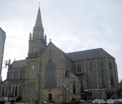
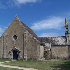
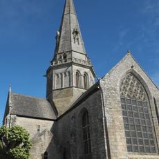
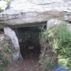
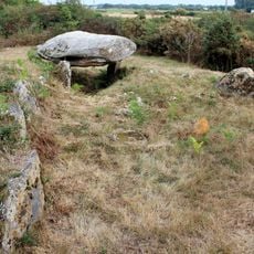
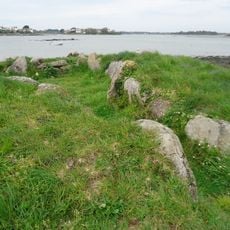
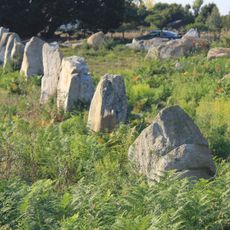
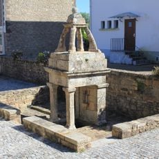
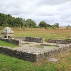
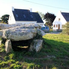
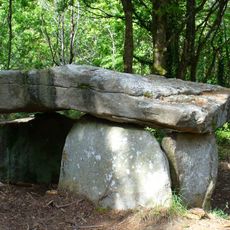
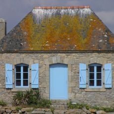
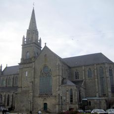
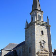
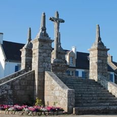
Plouhinec looks back on a long history shaped by ancient menhirs and traces of Roman settlements in the region. Small chapels and sturdy churches document religious traditions and local life along this coast over many centuries.
Residents of Plouhinec share a deep connection to the coast and its heritage. The town hosts regular cultural events such as concerts and karaoke nights that bring people together and strengthen community bonds.
Visitors can explore Plouhinec year-round, with summer offering the best conditions for beach and water activities. Marked walking trails run along the coast and dunes, while both beaches are easily accessible and offer amenities like small restaurants and ice cream stands.
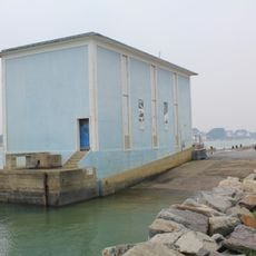
The town operates a semaphore tower with a live webcam that allows visitors to watch the coastline and track weather changes over the sea. This historical structure offers a fascinating blend of traditional maritime monitoring and modern technology.
The community of curious travelers
AroundUs brings together thousands of curated places, local tips, and hidden gems, enriched daily by 60,000 contributors worldwide.