
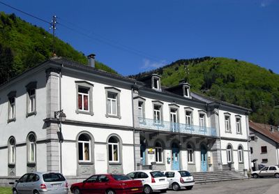
Wildenstein, commune in Haut-Rhin, France
Location: canton of Saint-Amarin
Location: arrondissement of Thann-Guebwiller
Elevation above the sea: 925 m
Shares border with: Metzeral, Kruth, La Bresse, Cornimont
Phone: +33389822847
Email: mairie@wildenstein.fr
Website: http://wildenstein.fr
GPS coordinates: 47.97722,6.96083
Latest update: June 2, 2025 07:33
Hohneck
7.9 km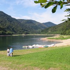
Lac de Kruth-Wildenstein
2.4 km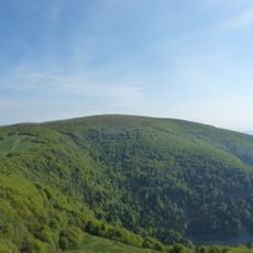
Kastelberg
5.8 km
Le Grand Ventron
3.3 km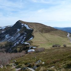
Rothenbachkopf
3 km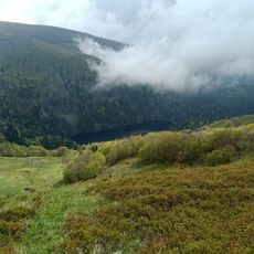
Lac d'Altenweiher
4.6 km
Réserve naturelle nationale du massif du Ventron
3 km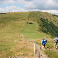
Rainkopf
4 km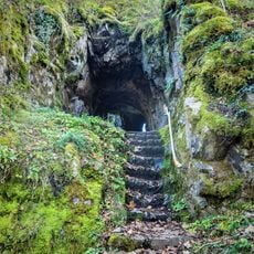
Château de Wildenstein
3.1 km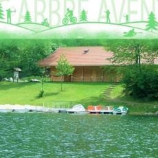
Tree Adventure Park
2.5 km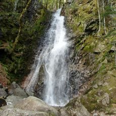
Cascade du Bockloch
1.4 km
Spitzkoepfe
7.2 km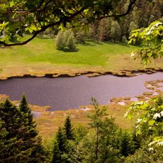
Réserve naturelle nationale de la tourbière de Machais
3.3 km
Batteriekopf
2.4 km
Le Lauchenkopf
6.3 km
Schlitte Mountain
6.5 km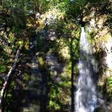
Cascade du Heidenbad
674 m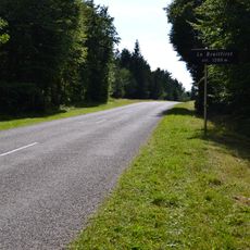
Le Breitfirst
5.9 km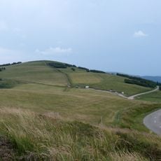
Le Schweisel
2.2 kmRéserve naturelle régionale des hautes-chaumes du Rothenbach
2.9 km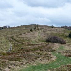
Hundskopf
3.6 km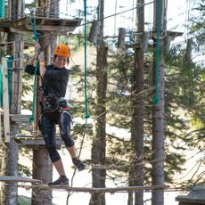
Form Aventures
6.5 km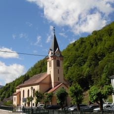
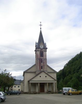
Église Saints-Pierre-et-Paul de Wildenstein
70 m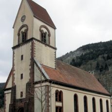
Église de l'Immaculée Conception de Mittlach
6.1 km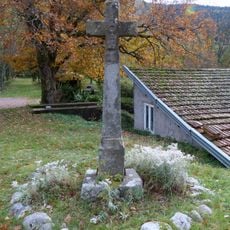
Croix de chemin de la route de Vologne
3.8 km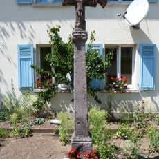
Seconde croix de chemin de la rue de la Clairie
6.9 km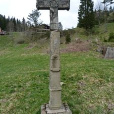
Croix de chemin des Feignes sous Vologne
7.8 km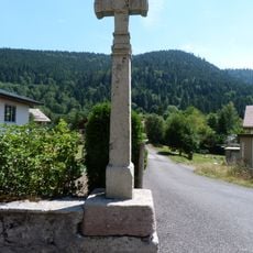
Croix de chemin de la rue du Hohneck
4 kmVisited this place? Tap the stars to rate it and share your experience / photos with the community! Try now! You can cancel it anytime.
Discover hidden gems everywhere you go!
From secret cafés to breathtaking viewpoints, skip the crowded tourist spots and find places that match your style. Our app makes it easy with voice search, smart filtering, route optimization, and insider tips from travelers worldwide. Download now for the complete mobile experience.

A unique approach to discovering new places❞
— Le Figaro
All the places worth exploring❞
— France Info
A tailor-made excursion in just a few clicks❞
— 20 Minutes