Cambrai

Log in to your account

AroundUs is a community-driven map of interesting places, built by curious explorers like you. It grows with every review, story, and photo you share.
Connect to save your favorite spots, contribute locations, and create personalized routes.
By continuing, you accept our Terms and Conditions and our Privacy Policy
Add to collection
Map
Suggest a change
Share

Cambrai, Historical city in Nord department, France

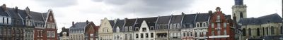
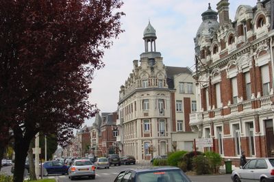
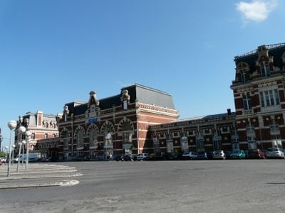
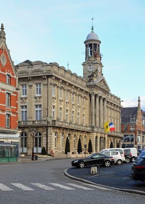
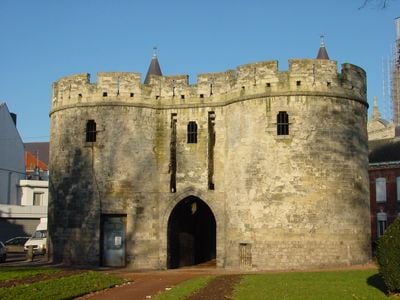
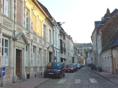
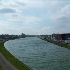
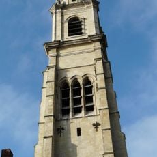
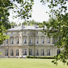
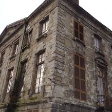
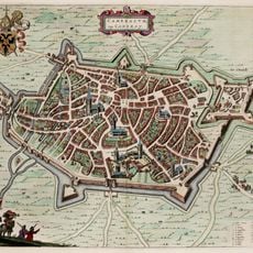
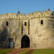
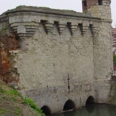
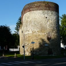
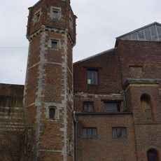
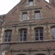
Cambrai is a town in the Nord department of northern France that spreads along the Scheldt River and today counts around 32,000 residents. The historic core connects cobbled streets with remains of medieval fortifications and a 14th-century belfry now listed as World Heritage.

In the fifth century the settlement became capital of the Gallo-Roman Nervii tribe and developed from the sixth century into an important spiritual center with its own diocese. Over the following centuries the town changed hands several times between Burgundian, Spanish and French rule until it was definitively annexed to the French kingdom in 1678.

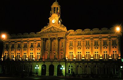
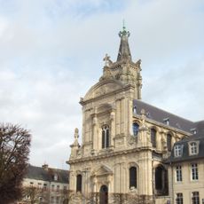
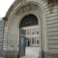
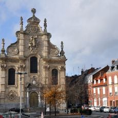
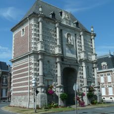
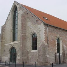
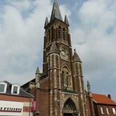
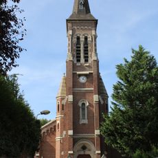
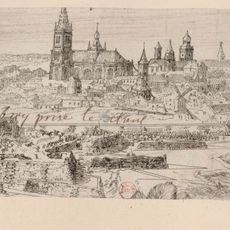
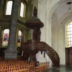
The settlement takes its name from the Roman Camaracum and served for centuries as a bishopric with far-reaching ecclesiastical authority. Today the cathedral and several chapels recall this long religious influence that still shapes the townscape.

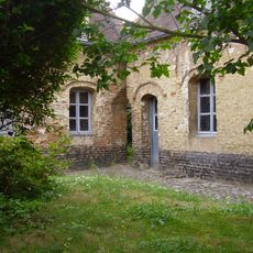
The old quarter is easily walkable, with the belfry serving as a landmark and most sights within short distance of each other. Visitors find cafés and small shops along the main streets where regional specialties such as Betises de Cambrai can be tasted.

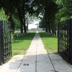
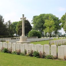
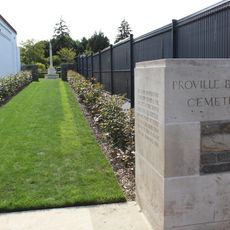
In November 1917 the first large-scale tank offensive in history took place here, with over 400 British tanks deployed simultaneously. This event fundamentally changed military strategy and turned the site into a turning point in twentieth-century warfare.

Location: canton of Cambrai-Est

Location: canton of Cambrai-Ouest

Location: Nord

Location: arrondissement of Cambrai

Founders: Gambrinus

Elevation above the sea: 65 m

Part of: Unité urbaine de Cambrai, Aire métropolitaine de Lille

Shares border with: Ramillies, Tilloy-lez-Cambrai, Awoingt, Cauroir, Escaudœuvres, Fontaine-Notre-Dame, Neuville-Saint-Rémy, Niergnies, Proville, Raillencourt-Sainte-Olle, Rumilly-en-Cambrésis

Address: Cambrai, France

Website: http://villedecambrai.com

GPS coordinates: 50.17583,3.23472

Latest update: December 12, 2025 02:28

Photos
Reviews

Visited this place? Tap the stars to rate it and share your experience / photos with the community! Try now! You can cancel it anytime.

« Cambrai - Historical city in Nord department, France » is provided by Around Us (aroundus.com). Images and texts are derived from Wikimedia project under a Creative Commons license. You are allowed to copy, distribute, and modify copies of this page, under the conditions set by the license, as long as this note is clearly visible.

Discover hidden gems everywhere you go!

From secret cafés to breathtaking viewpoints, skip the crowded tourist spots and find places that match your style. Our app makes it easy with voice search, smart filtering, route optimization, and insider tips from travelers worldwide. Download now for the complete mobile experience.

Around Us App Screenshot

A unique approach to discovering new places

Le Figaro

All the places worth exploring

France Info

A tailor-made excursion in just a few clicks

20 Minutes