Enable Location

We need your location to show you interesting places around you

Discover nearby places

Find interesting locations and hidden gems around you

Precise directions

Get accurate directions and distances to places

Your location is never shared with other users. It's only used when you tap the location button.

Saint-Cloud

Log in to your account

Start exploring — it's free

Trusted by 62,382 travelers worldwide

Continue with Google
Continue with Apple
or

We will send you a code to connect

By continuing, you accept our Terms and Conditions and our Privacy Policy

Check your inbox

We've sent a pincode in your inbox. Please enter the code below.

Saint-Cloud, Affluent suburb 9.6 kilometers west of Paris, France

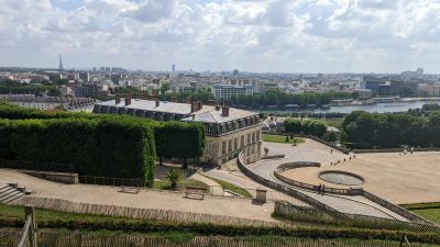
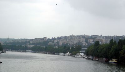
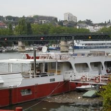
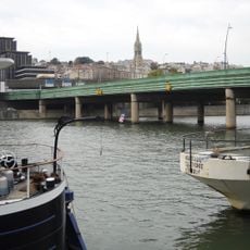
Saint-Cloud is a commune in the Hauts-de-Seine department, nine point six kilometers west of Paris. It stretches along the Seine riverbanks at an elevation of one hundred thirty-six meters and offers views over the western Paris region.

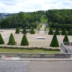
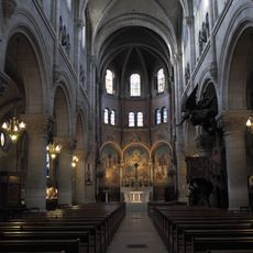
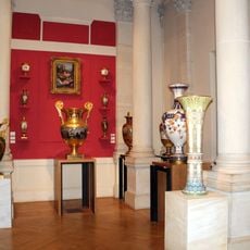
The town took its name from Clodoald, grandson of King Clovis, who founded a monastery near the Seine in the sixth century. Later the area became a royal residence, whose palace was destroyed during the Franco-Prussian War.

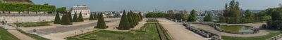
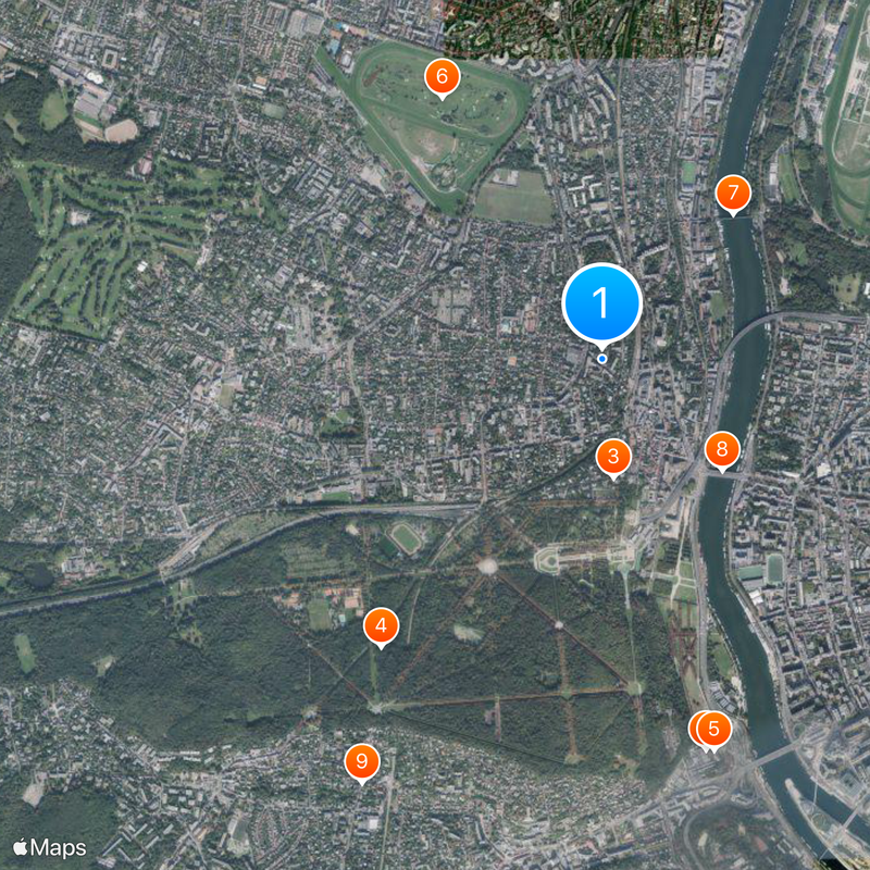
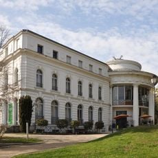
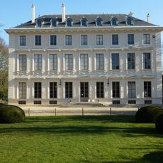
The International Bureau of Weights and Measures sits in the Parc de Saint-Cloud and maintains global measurement standards from there. Visitors see the building from park paths, where scientists from many countries still work together today.

Two suburban rail stations connect the commune to central Paris through Le Val d'Or and Saint-Cloud stops. Regular train services make travel easier for visitors arriving from the French capital.

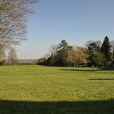
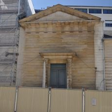
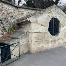
Napoleon Bonaparte staged his coup here in November seventeen ninety-nine, ending the French Directory. The palace where these events took place no longer exists since eighteen seventy, and only foundation walls recall its former presence.

The community of curious travelers

AroundUs brings together thousands of curated places, local tips, and hidden gems, enriched daily by 60,000 contributors worldwide.

Start exploring
Location
Location
Elevation above the sea
99 m
Shares border with
Suresnes, Paris, Boulogne-Billancourt, Sèvres, Ville-d'Avray, Marnes-la-Coquette, Garches, Rueil-Malmaison
Address
92210 Saint-Cloud, France
Phone
GPS coordinates
48.84639,2.21528
Latest update
December 12, 2025 23:48
« Saint-Cloud - Affluent suburb 9.6 kilometers west of Paris, France » is provided by Around Us (aroundus.com). Images and texts are derived from Wikimedia project under a Creative Commons license. You are allowed to copy, distribute, and modify copies of this page, under the conditions set by the license, as long as this note is clearly visible.

Discover hidden gems everywhere you go!

From secret cafés to breathtaking viewpoints, skip the crowded tourist spots and find places that match your style. Our app makes it easy with voice search, smart filtering, route optimization, and insider tips from travelers worldwide. Download now for the complete mobile experience.

Around Us App Screenshot

A unique approach to discovering new places

Le Figaro

All the places worth exploring

France Info

A tailor-made excursion in just a few clicks

20 Minutes

Around Us
Travel Guide & Maps
Download

Send to your phone

QR Code
1

Open the camera app on your mobile.

2

Point at the QR code with your camera. A notification will appear.

3

Tap the notification to open the link.