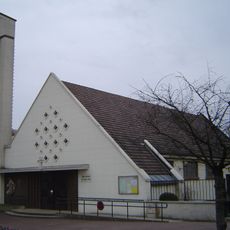
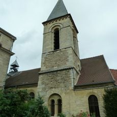
Châtenay-Malabry, Residential commune in Hauts-de-Seine, France.
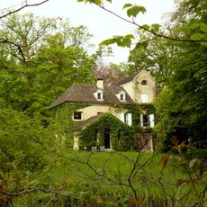
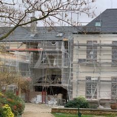
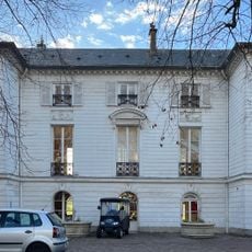
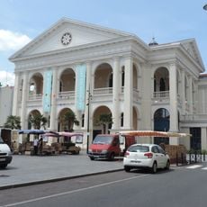
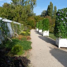
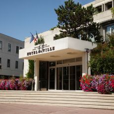
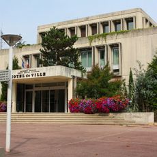
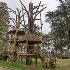
Châtenay-Malabry is a residential commune in the Hauts-de-Seine department southwest of Paris. The territory covers 16.38 square kilometers and includes several parks, forest sections, and educational facilities that shape the local landscape.
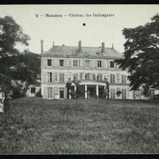
The commune received its current name in 1920 by merging two designations from different periods. Before that, the districts carried their names separately and documented the medieval roots and soil quality of the region.
The name Châtenay comes from the Latin word for small castle, while Malabry refers to the poor soil found in the area. These two terms merged officially in 1920 and describe two fundamental characteristics of the place.
The Robinson station on RER line B connects the area directly to central Paris and allows quick journeys to the capital. Several primary and secondary schools are located in the commune and provide access to educational facilities for residents.
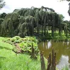
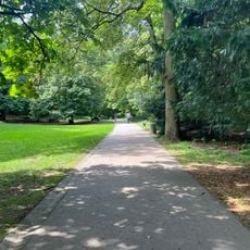
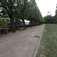
A two-kilometer forest path called Chemin sylvestre crosses the area and offers a dedicated route for pedestrians and cyclists. The path runs near the state forest and connects different green spaces together.
The community of curious travelers
AroundUs brings together thousands of curated places, local tips, and hidden gems, enriched daily by 60,000 contributors worldwide.