Brenthonne, French commune in Haute-Savoie, France.
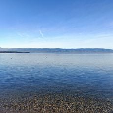
Brenthonne spans approximately 18.38 square kilometers in the Haute-Savoie department, positioned at elevations ranging from 479 to 1,004 meters above sea level within the Auvergne-Rhône-Alpes region.
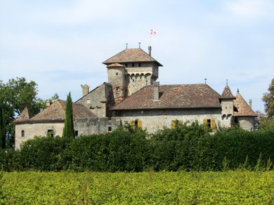
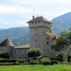
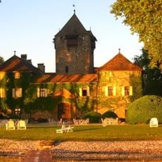
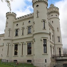
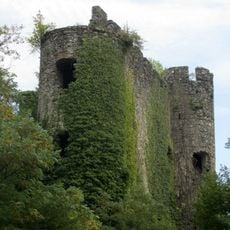
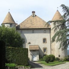
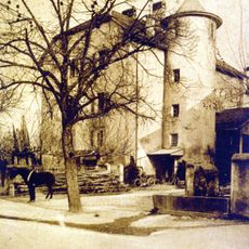
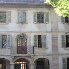
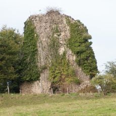
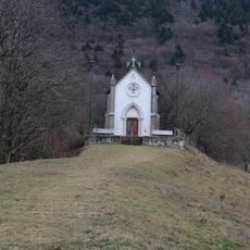
The Château d'Avully, dating from the 14th century, stands as a significant medieval architectural remnant that represents the commune's historical importance in the regional development of southeastern France.
Local residents participate actively in community life through various associations and seasonal festivals that celebrate traditional Savoyard customs, maintaining connections to Alpine heritage and rural French traditions.
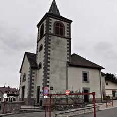
The commune operates under postal code 74890 with Mayor Michel Burgnard serving from 2020 to 2026, providing administrative services at the town hall located on Route de Thonon-les-Bains.
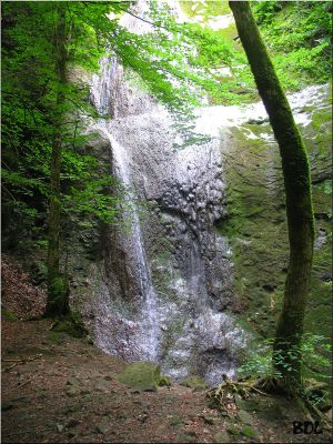
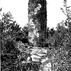
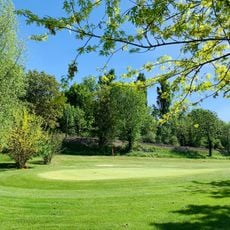
The Cascade de Pisse-Vache waterfall creates a distinctive natural landmark within the commune, offering residents and visitors access to scenic outdoor recreational opportunities in the mountainous landscape.
Location: Canton of Douvaine
Location: Haute-Savoie
Location: arrondissement of Thonon-les-Bains
Elevation above the sea: 612 m
Shares border with: Bons-en-Chablais, Fessy, Saxel
Address: 74890 Brenthonne, France 74890 Brenthonne
Phone: +33450361238
Email: mairiebrenthonne@wanadoo.fr
GPS coordinates: 46.27333,6.39389
Latest update: August 11, 2025 11:47
Monastère de Bethléem des Voirons
6.3 km
Château d'Allinges-Vieux
8.7 km
Château d'Avully
525 m
Les Aigles du Léman
6.8 km
Coudrée Castle
7.5 km
Château-Neuf d'Allinges
8.3 km
Chapelle Notre-Dame-des-Voirons de Boëge
5.2 km
Château de Thénières
6.2 km
Château de Ballaison
6.2 km
Cave aux Fées
8.8 km
Château de Langin
4.5 km
Château de la Rochette
3.2 km
Château de Buffavent
1.9 km
Château de la Tour de Marignan
5.9 km
Château de Cursinges
5.4 km
Église Saint-Maurice de Boëge
7.1 km
Église Saint-Pierre d'Habère-Lullin
6.3 km
Manoir Chapuis
8.2 km
Église Saint-Jean-Baptiste de Villard
7.2 km
Tour du Draillant
6 km
Château de Boisy
4.8 km
Croix de chemin de Villard
7.1 km
Croix de chemin de Saint-Cergues
7.1 km
Chapelle Notre-Dame-de-Lourdes de Chermont
6.9 km
Golf de Machilly
5 km
Église Saint-Martin de Machilly
5.4 km
Plage municipale de Sciez
7.6 km
Plage du Redon
8.6 kmReviews
Visited this place? Tap the stars to rate it and share your experience / photos with the community! Try now! You can cancel it anytime.
Discover hidden gems everywhere you go!
From secret cafés to breathtaking viewpoints, skip the crowded tourist spots and find places that match your style. Our app makes it easy with voice search, smart filtering, route optimization, and insider tips from travelers worldwide. Download now for the complete mobile experience.
A unique approach to discovering new places❞
— Le Figaro
All the places worth exploring❞
— France Info
A tailor-made excursion in just a few clicks❞
— 20 Minutes