Blies, River between Saarland, Germany and Moselle, France
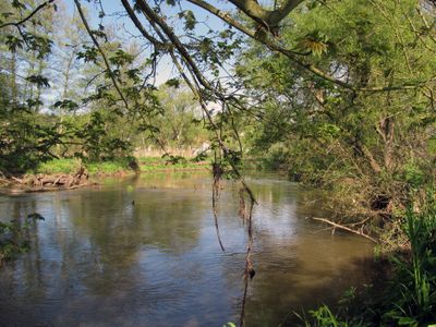
The Blies is a river that originates from three springs in the Hunsrück region near Selbach and flows for about 100 kilometers through several German towns before emptying into France at Sarreguemines. Its course connects the two countries and forms a border line between them in certain stretches.
The river was affected during the intense military operations of the Lorraine Campaign in 1944, when the United States Army advanced through the region. These events left marks on the landscape and in the memory of local communities.
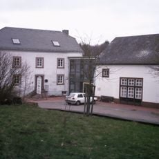
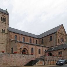
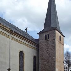
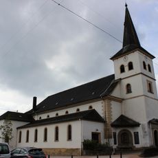
The river shaped settlement patterns in the region, leading communities to establish themselves along its banks. The town of Blieskastel takes its name from the waterway, reflecting the deep connection between the stream and local development.
The river is easily accessible from several German and French towns situated along its course. The best way to experience it is by taking a walk or drive along the banks near the towns that line its path.
The river forms a natural border between Germany and France for about 20 kilometers, serving as a geographic marker between the two regions. This boundary waterway makes it a distinctive landmark of cross-border cooperation in Europe.
The community of curious travelers
AroundUs brings together thousands of curated places, local tips, and hidden gems, enriched daily by 60,000 contributors worldwide.