Enable Location

We need your location to show you interesting places around you

Discover nearby places

Find interesting locations and hidden gems around you

Precise directions

Get accurate directions and distances to places

Your location is never shared with other users. It's only used when you tap the location button.

Apremont-sur-Allier

Log in to your account

Start exploring — it's free

Trusted by 61,652 travelers worldwide

Continue with Google
Continue with Apple
or

We will send you a code to connect

By continuing, you accept our Terms and Conditions and our Privacy Policy

Check your inbox

We've sent a pincode in your inbox. Please enter the code below.

Apremont-sur-Allier

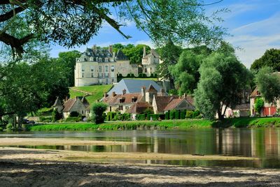
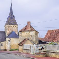
Apremont-sur-Allier, Rural commune in Cher department, France.

Description

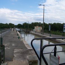
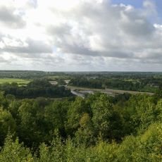
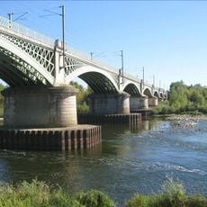
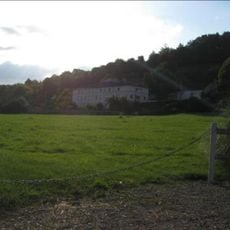
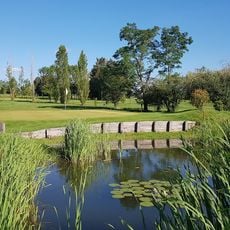
This village of 70 residents spans 130.69 square kilometers along the Allier River, surrounded by verdant bocage landscapes and agricultural lands within the Centre-Val de Loire region of central France.

History

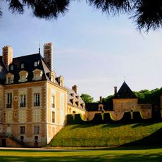
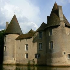
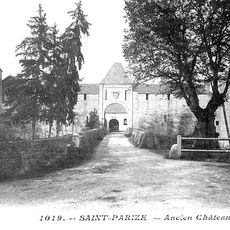
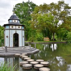
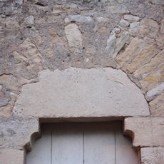
The 12th-century castle served as a strategic medieval fortress controlling river access and collecting tolls, while golden stone quarries supplied construction materials for regional monuments until the early 20th century closure led to economic decline.

Culture

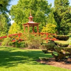
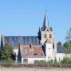
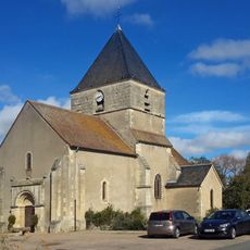
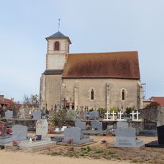
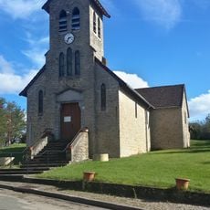
Recognized as one of France's Most Beautiful Villages, Apremont-sur-Allier maintains traditional French rural identity through seasonal festivals celebrating local history, regional crafts, and ancestral agricultural practices that foster strong community bonds.

Practical

Departmental roads D100, D76, and D45 connect the village to Bourges located 56 kilometers away, with gîte accommodations available and organic monthly markets held on Sundays during warmer months for visitors and residents.

Did you know?

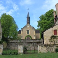
Eugène Schneider transformed the village by applying 'Van Dyck Brown' color to all shutters and window frames, creating a medieval visual harmony that remains respected by all inhabitants today as part of ongoing architectural preservation efforts.

Location
Elevation above the sea
176 m
Industry
administration publique générale
Shares border with
La Chapelle-Hugon, Cuffy, La Guerche-sur-l'Aubois, Neuvy-le-Barrois, Gimouille, Saincaize-Meauce
Address
18150 Apremont-sur-Allier, France
Phone
GPS coordinates
46.90583,3.04778
Latest update
September 23, 2025 08:14

AroundUs brings together thousands of curated places, local tips, and hidden gems, enriched daily by 60,000 contributors worldwide. Discover all places nearby (Cher).

« Apremont-sur-Allier - Rural commune in Cher department, France » is provided by Around Us (aroundus.com). Images and texts are derived from Wikimedia project under a Creative Commons license. You are allowed to copy, distribute, and modify copies of this page, under the conditions set by the license, as long as this note is clearly visible.

Discover hidden gems everywhere you go!

From secret cafés to breathtaking viewpoints, skip the crowded tourist spots and find places that match your style. Our app makes it easy with voice search, smart filtering, route optimization, and insider tips from travelers worldwide. Download now for the complete mobile experience.

Around Us App Screenshot

A unique approach to discovering new places

Le Figaro

All the places worth exploring

France Info

A tailor-made excursion in just a few clicks

20 Minutes

Around Us
Travel Guide & Maps
Download

Send to your phone

QR Code
1

Open the camera app on your mobile.

2

Point at the QR code with your camera. A notification will appear.

3

Tap the notification to open the link.