
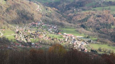
Onnion, commune in Haute-Savoie, France
Location: Canton of Saint-Jeoire
Location: Haute-Savoie
Location: arrondissement of Bonneville
Elevation above the sea: 683 m
Industry: administration publique générale
Shares border with: Bogève, Mégevette, Mieussy, Saint-Jeoire, Villard
Phone: +33450357043
Email: mairie@onnion.fr
Website: http://onnion.fr
GPS coordinates: 46.17139,6.47889
Latest update: June 12, 2025 00:20
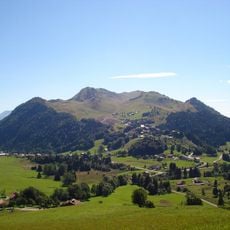
Hirmentaz
6.7 km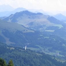
Pointe de Miribel
4.5 km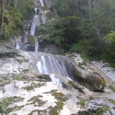
Cascade de la Diomaz
7.2 km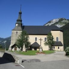
Église Notre-Dame-de-l'Assomption de Bellevaux
10.3 km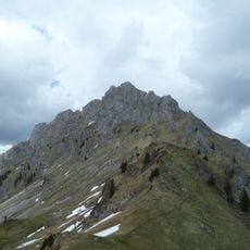
Pointe de Chalune
8 km
Pointe des Brasses
2.9 km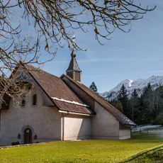
Chapelle Saint-Bruno de Bellevaux
8 km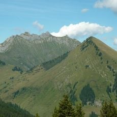
Pointe d'Uble
9.3 km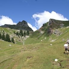
Pointe de Chavasse
7 km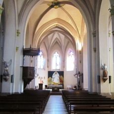
Église Saint-Maurice de Boëge
7.1 km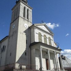
Église Saint-Blaise de Viuz-en-Sallaz
5.8 km
Église Saint-Pierre d'Habère-Lullin
7.3 km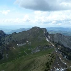
Haute-Pointe
5.5 km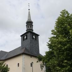
Église Saint-Maurice d'Onnion
86 m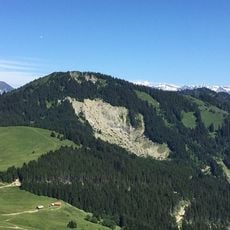
Pointe de la Gay
9.7 km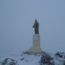
Sur la Pointe
8.7 km
Église Saint-Jean-Baptiste de Villard
5.9 km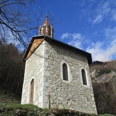
Chapelle Saint-Grat de Mieussy
6.8 km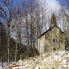
Chapelle Saint-André de l'Abbaye
8.2 km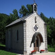
Chapelle Saint-François-Jaccard de Sévillon
2.9 km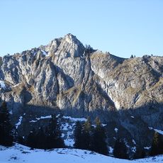
Pointe de Chavannais
5.7 km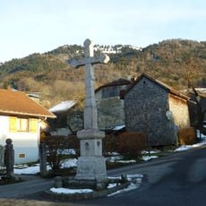
Croix de chemin de Villard
6 km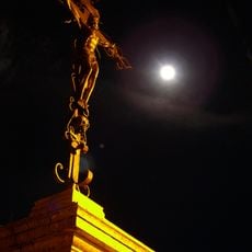
Croix de Bellevaux
10.3 km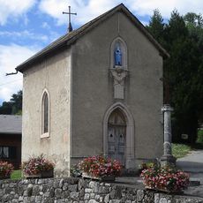
Chapelle Notre-Dame-de-la-Compassion de Mieussy
5.7 km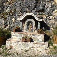
Oratoire de la Dent
10.6 km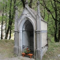
Chapelle du Bon Refuge de Saint-Jeoire
3.5 km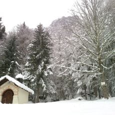
Chapelle du Merle
8.3 km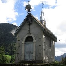
Chapelle du Chatellard
10.2 kmReviews
Visited this place? Tap the stars to rate it and share your experience / photos with the community! Try now! You can cancel it anytime.
Discover hidden gems everywhere you go!
From secret cafés to breathtaking viewpoints, skip the crowded tourist spots and find places that match your style. Our app makes it easy with voice search, smart filtering, route optimization, and insider tips from travelers worldwide. Download now for the complete mobile experience.

A unique approach to discovering new places❞
— Le Figaro
All the places worth exploring❞
— France Info
A tailor-made excursion in just a few clicks❞
— 20 Minutes