Belle Île

Log in to your account

AroundUs is a community-driven map of interesting places, built by curious explorers like you. It grows with every review, story, and photo you share.
Connect to save your favorite spots, contribute locations, and create personalized routes.
By continuing, you accept our Terms and Conditions and our Privacy Policy

Belle Île

Add to collection
Map
Suggest a change
Share

Belle Île, Island in Brittany, France

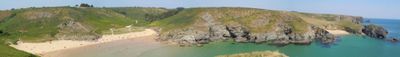
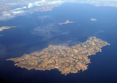
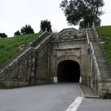
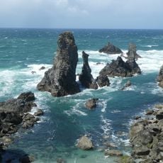
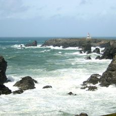
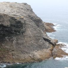
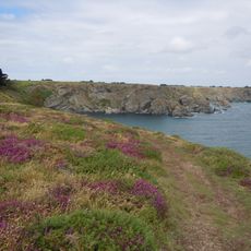
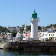
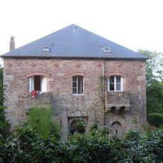
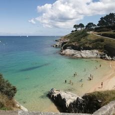
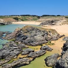
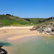
Belle Île is an island off the coast of Brittany measuring about 17 kilometers long and 9 kilometers wide, shaped by steep cliffs on the southwest side and gentle sandy beaches on the northeast. Four small towns spread across the island, with Le Palais serving as the main settlement with a fortified citadel and Sauzon offering a sheltered harbor for boats.

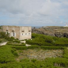
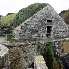
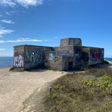
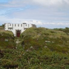
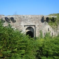
The territory served as a stronghold for the Veneti tribe during Roman times and passed temporarily into British hands after an 18th-century war before returning to France in 1763. Fortifications were expanded during the 16th and 17th centuries to secure the strategic position off the Breton coast.

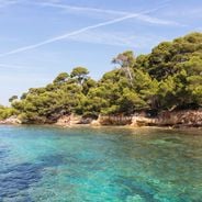
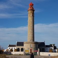
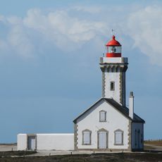
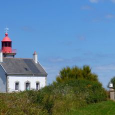
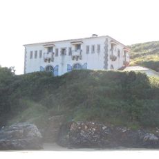
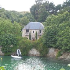
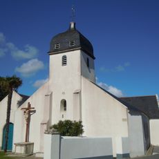
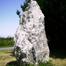
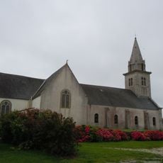
The name means beautiful island and describes a landscape marked by lighthouses, fishing harbors, and white houses along the coast. Fishermen and sailors share the sheltered bays while hikers follow marked paths that lead past small chapels and roadside crosses.

Ferries depart regularly from several ports in Brittany and arrive at Le Palais or Sauzon depending on weather and season. Walking trails follow the coastline and cross the interior, with sturdy footwear recommended due to rocky sections in some areas.

French painter Claude Monet visited the island in the late 19th century and produced several paintings capturing the rock formations and changing light over the sea. His work helped bring the coastal landscape to wider attention beyond France.

Location: Bangor

Location: Locmaria

Location: Le Palais

Location: Sauzon

Location: communauté de communes de Belle-Île-en-Mer

Location: canton of Belle-Île

Location: canton of Quiberon

Location: arrondissement of Lorient

Location: Morbihan

Capital city: Le Palais

Elevation above the sea: 63 m

Part of: list of islands of France

Address: Belle Île, 56360, France

GPS coordinates: 47.33306,-3.18700

Latest update: December 11, 2025 21:40

Photos
Wild beaches in France: Mediterranean, Atlantic coasts and coves

The French coastline stretches over more than 3,100 miles and features a notable variety of beaches. From Brittany's granite coasts to Mediterranean coves, including wide Atlantic stretches and Corsican bays with clear waters, each coastal area has its own character. This selection takes you away...

Reviews

Visited this place? Tap the stars to rate it and share your experience / photos with the community! Try now! You can cancel it anytime.

« Belle Île - Island in Brittany, France » is provided by Around Us (aroundus.com). Images and texts are derived from Wikimedia project under a Creative Commons license. You are allowed to copy, distribute, and modify copies of this page, under the conditions set by the license, as long as this note is clearly visible.

Discover hidden gems everywhere you go!

From secret cafés to breathtaking viewpoints, skip the crowded tourist spots and find places that match your style. Our app makes it easy with voice search, smart filtering, route optimization, and insider tips from travelers worldwide. Download now for the complete mobile experience.

Around Us App Screenshot

A unique approach to discovering new places

Le Figaro

All the places worth exploring

France Info

A tailor-made excursion in just a few clicks

20 Minutes