
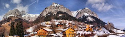
Montmin, former commune in Haute-Savoie, France
Location: Haute-Savoie
Location: arrondissement of Annecy
Elevation above the sea: 2,338 m
Shares border with: Les Clefs, Doussard, Faverges-Seythenex, Saint-Ferréol, Serraval, Faverges
GPS coordinates: 45.80250,6.26444
Latest update: May 31, 2025 19:01
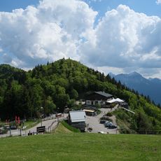
Col de la Forclaz
1.6 km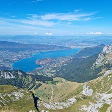
La Tournette
3.2 km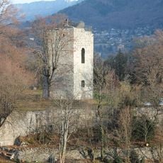
Château de Duingt
5.4 km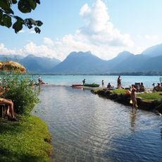
Plage d'Angon
4 km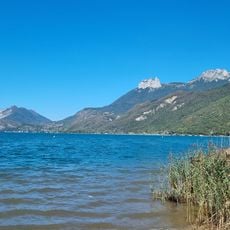
Plage municipale
3.6 km
Réserve naturelle nationale du Bout du lac d'Annecy
3.2 km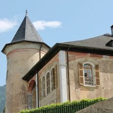
Château de Gye
5.9 km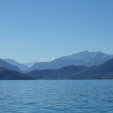
Trouée d'Annecy
4.5 km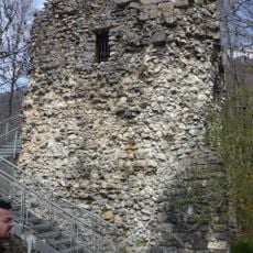
Tour de Beauvivier
3.1 km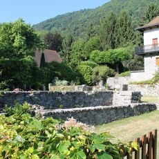
Château de Lathuile
5.4 km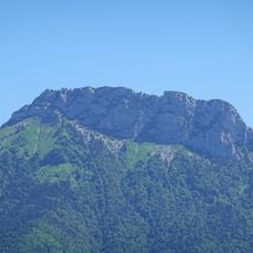
Lanfonnet
5.2 km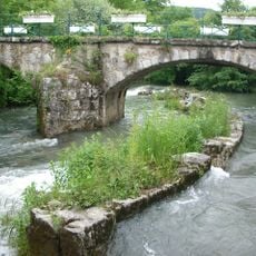
Pont sur l'Eau Morte
3 km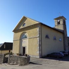
Église Saint-Maurice de Montmin
87 m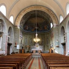
Église Saint-Ferréol de Saint-Ferréol
5.2 km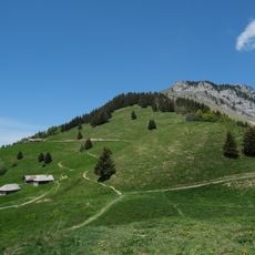
Roc Lancrenaz
4.7 km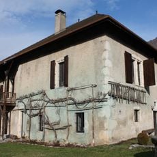
Maison forte Blain de Verthier
2.9 km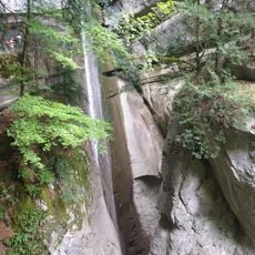
Cascade d'Angon
4.5 km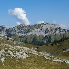
Montagne de Cotagne
5.3 km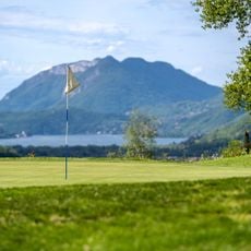
Golf de Giez
5.5 km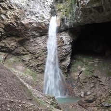
Cascade d'angon
4.5 km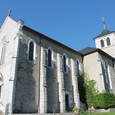
Église Saint-Ours de Lathuile
5.3 km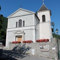
Église Saint-Barthélémy de Giez
5.9 km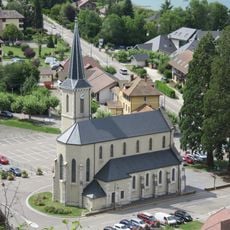
Église Saint-Germain de Duingt
5.5 km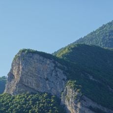
Roc de Viuz
5.4 km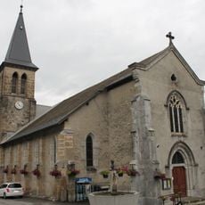
Église Saint-Maurice de Serraval
5.9 km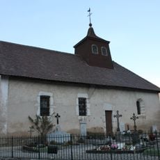
Église Saint-Martin de Chevaline
5.6 km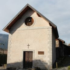
Chapelle de Notre-Dame de la Nativité de Verthier
2.9 km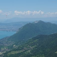
Rocher du Roux (Panorama)
2.2 kmVisited this place? Tap the stars to rate it and share your experience / photos with the community! Try now! You can cancel it anytime.
Discover hidden gems everywhere you go!
From secret cafés to breathtaking viewpoints, skip the crowded tourist spots and find places that match your style. Our app makes it easy with voice search, smart filtering, route optimization, and insider tips from travelers worldwide. Download now for the complete mobile experience.

A unique approach to discovering new places❞
— Le Figaro
All the places worth exploring❞
— France Info
A tailor-made excursion in just a few clicks❞
— 20 Minutes