Enable Location

We need your location to show you interesting places around you

Discover nearby places

Find interesting locations and hidden gems around you

Precise directions

Get accurate directions and distances to places

Your location is never shared with other users. It's only used when you tap the location button.

Roc Lancrenaz

Log in to your account

Start exploring — it's free

Trusted by 61,914 travelers worldwide

Continue with Google
Continue with Apple
or

We will send you a code to connect

By continuing, you accept our Terms and Conditions and our Privacy Policy

Check your inbox

We've sent a pincode in your inbox. Please enter the code below.

Roc Lancrenaz

Roc Lancrenaz, Mountain summit in Haute-Savoie, France

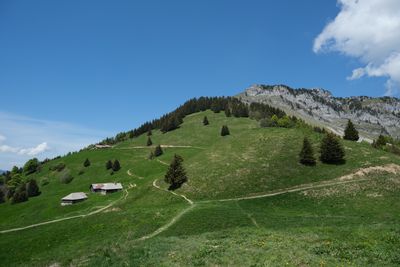
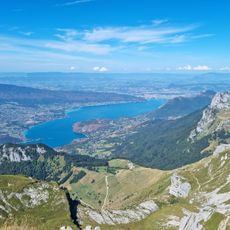
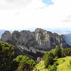
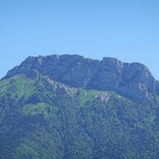
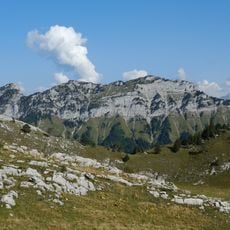
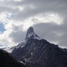
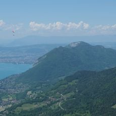
Roc Lancrenaz is a limestone hogback that rises between the communities of Alex, Talloires-Montmin, and Thônes in the French Alps, reaching 1679 meters above sea level. The formation has a distinctive ridge shape that stands out in the landscape and offers wide views across the surrounding Bornes Massif.

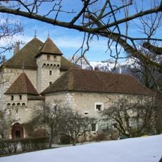
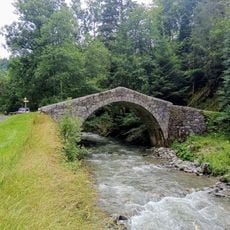
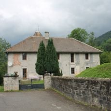
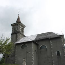
For centuries, the mountain paths around this summit served as essential routes connecting villages across the Bornes Massif. These historic routes shaped how communities traded and traveled, and many of them remain as marked trails today.

The area around this summit has long served as a meeting point for people traveling between mountain villages in the Bornes range. The trails that wind through here still connect communities and draw hikers who come to experience this part of the Alps.

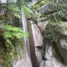
The main trail from Montmin covers about 9.6 km (6 mi) with roughly 840 meters (2750 ft) of elevation gain and is clearly marked on hiking maps. Wear sturdy boots and bring plenty of water, as the route includes steep sections that become slippery in wet weather.

The Pas de l'Aulp is an exposed rocky passage where metal chains are fixed into the rock face to help hikers navigate the steepest and most exposed sections safely. These anchored cables transform a challenging stretch into a manageable climb that stands out from typical alpine routes.

The community of curious travelers

AroundUs brings together thousands of curated places, local tips, and hidden gems, enriched daily by 60,000 contributors worldwide.

Start exploring
Location
Location
Elevation above the sea
1,679 m
GPS coordinates
45.84474,6.26111
Latest update
December 14, 2025 20:25
« Roc Lancrenaz - Mountain summit in Haute-Savoie, France » is provided by Around Us (aroundus.com). Images and texts are derived from Wikimedia project under a Creative Commons license. You are allowed to copy, distribute, and modify copies of this page, under the conditions set by the license, as long as this note is clearly visible.

Discover hidden gems everywhere you go!

From secret cafés to breathtaking viewpoints, skip the crowded tourist spots and find places that match your style. Our app makes it easy with voice search, smart filtering, route optimization, and insider tips from travelers worldwide. Download now for the complete mobile experience.

Around Us App Screenshot

A unique approach to discovering new places

Le Figaro

All the places worth exploring

France Info

A tailor-made excursion in just a few clicks

20 Minutes

Around Us
Travel Guide & Maps
Download

Send to your phone

QR Code
1

Open the camera app on your mobile.

2

Point at the QR code with your camera. A notification will appear.

3

Tap the notification to open the link.