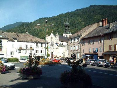
Thônes, Administrative commune in Haute-Savoie, France
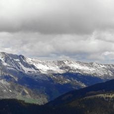
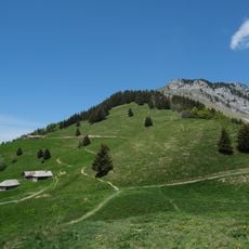
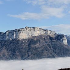
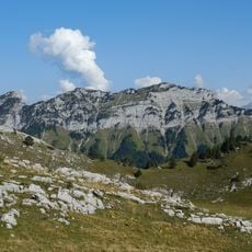
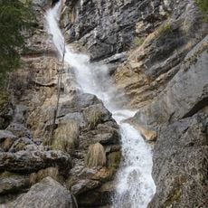
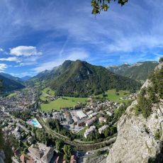
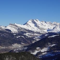
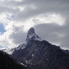
Thônes is a commune in the Alps of Haute-Savoie that spreads across green valleys and forested slopes. The settlement combines a rural village center with scattered residential areas and farms at different elevations.
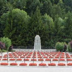
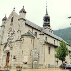
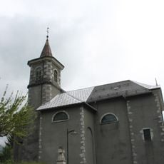
The settlement dates from the Middle Ages when its location in the mountain valley made it a local trading hub. In modern times the area resisted occupation during wartime and is remembered for resistance activity.
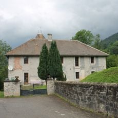
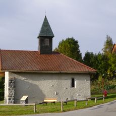
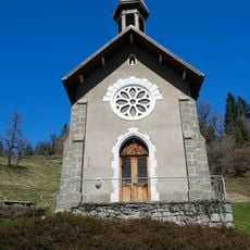
The name comes from the high plateau where the town sits. Visitors can see rural traditions reflected in the old wooden houses and their traditional construction methods throughout the area.
The center hosts a weekly Saturday market with local products where visitors can meet regional producers directly. The main areas are easy to explore on foot, while the surrounding region is accessible by car or bicycle.
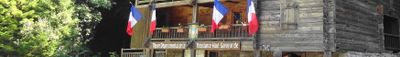
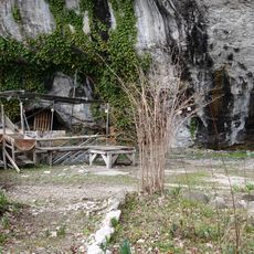
A preserved 19th-century hydraulic sawmill demonstrates how local people once processed timber using water power. This craft remains central to the region's identity and economy today.
Location: Canton of Thônes
Location: Haute-Savoie
Location: arrondissement of Annecy
Elevation above the sea: 1,081 m
Shares border with: Alex, La Balme-de-Thuy, Les Clefs, La Clusaz, Manigod, Talloires-Montmin, Les Villards-sur-Thônes, Glières-Val-de-Borne
Phone: +33450029172
Email: accueil@mairie-thones.fr
Website: http://mairie-thones.fr
GPS coordinates: 45.88222,6.32556
Latest update: December 20, 2025 11:48
Site de Morette
3.5 km
Mont Lachat
5.4 km
Église Saint-Maurice de Thônes
94 m
Pont Romain des Clefs
2.1 km
Clets Castle
2.3 km
Roc Lancrenaz
6.5 km
Mont Teret
6.3 km
Montagne de Cotagne
4.7 km
Vieille église
3.8 kmTête Ronde
5.5 kmZones humides des Frêtes
5.2 kmTourbières au col de la Croix Fry
6.1 km
Cascade de Morette
3.6 km
Nécropole nationale de Morette
3.5 km
Via Ferrata of Thônes
489 m
Tourist Office
136 m
Église Saint-Nicolas des Clefs
2.4 km
Scenic viewpoint
6.5 km
Dent du Cruet
5 kmPointe de Larrieux
5.7 kmL'Arpette de Thuy
4.2 kmEspace muséal de Thônes
127 m
Chapelle Saint-Claude de Forgeassoud
7 km
Chapelle de Villard-dessous
3.1 kmTête Noire (tumoy sa bukid sa Pransiya, Rhône-Alpes, Département de la Haute-Savoie, lat 45,93, long 6,29)
5.7 kmRocher de Lachat
6.5 kmPointe de Beauregard
6.5 kmSommet de Colomban
4.4 kmVisited this place? Tap the stars to rate it and share your experience / photos with the community! Try now! You can cancel it anytime.
Discover hidden gems everywhere you go!
From secret cafés to breathtaking viewpoints, skip the crowded tourist spots and find places that match your style. Our app makes it easy with voice search, smart filtering, route optimization, and insider tips from travelers worldwide. Download now for the complete mobile experience.
A unique approach to discovering new places❞
— Le Figaro
All the places worth exploring❞
— France Info
A tailor-made excursion in just a few clicks❞
— 20 Minutes