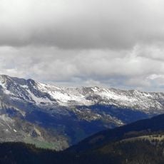
Tête Noire, Mountain summit in Haute-Savoie, France.
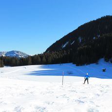
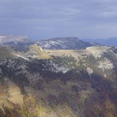
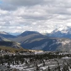
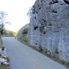
Tête Noire is a mountain peak in the Aravis range standing at roughly 1700 meters within the Haute-Savoie region. Dense forest covers the slopes, and several well-defined walking trails traverse the woodland to reach the top.
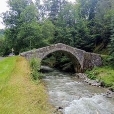
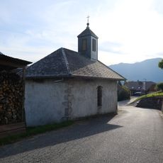
Shepherds have used the paths around this mountain since the 17th century to move their flocks between valleys and summer grazing grounds. These traditional routes remain visible and walkable today.
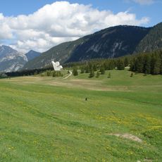
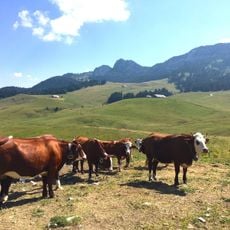
Local farming communities have long relied on the mountain pastures surrounding this summit, where cattle and sheep graze during the warmer months to produce regional dairy products. This seasonal movement of livestock continues to shape the rhythm of life in the nearby valleys.
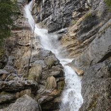
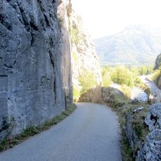
Access is by foot from the Peray parking area, with a clearly marked trail that covers roughly three kilometers to the summit. The walk is steady and takes between two to three hours round trip for most visitors.
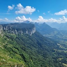
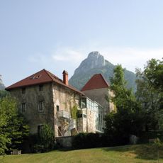
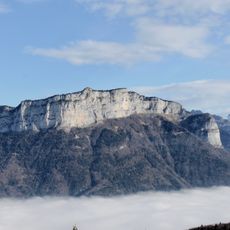
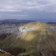
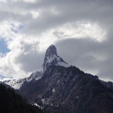
From the summit, visitors gain a striking view of Pointe Percée, a neighboring peak with a distinctive shape that marks the landscape. The trail also passes through forest sections where unusual Alpine plants grow that are seldom seen elsewhere in the area.
The community of curious travelers
AroundUs brings together thousands of curated places, local tips, and hidden gems, enriched daily by 60,000 contributors worldwide.