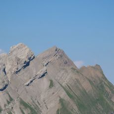
Pointe de Beauregard, Mountain summit in Haute-Savoie, France
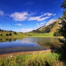
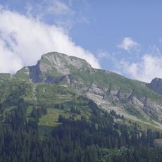
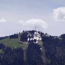
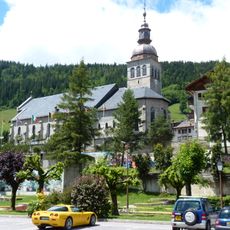
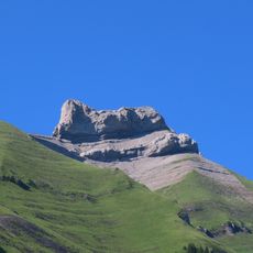
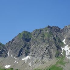
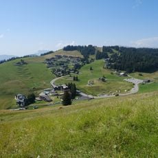
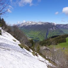
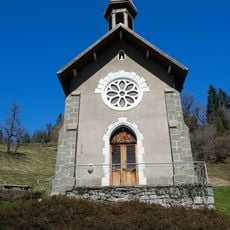
Pointe de Beauregard is a mountain summit in the Aravis range at 1586 meters, with multiple hiking trails passing through alpine forests and open meadows. The peak sits near the village of La Clusaz and offers different approach routes to reach the top.
The peak was first charted during surveys of the French Alps in the 18th century and became an important geographic landmark. Its location made it a natural reference point for exploring the Aravis region.
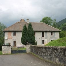
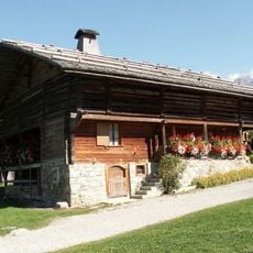
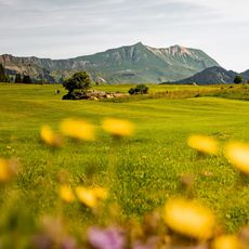
Shepherds still use the mountain meadows around the summit to graze their flocks and make cheese using traditional recipes passed down through generations. This way of life remains visible in the seasonal patterns of the surrounding landscape.
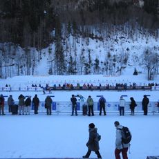
You can reach the summit by hiking from La Clusaz or by using the cable car that runs during summer and winter. Good hiking boots and weather protection are essential, and it helps to check conditions before starting your journey.
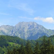
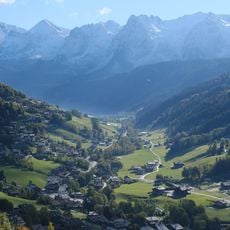
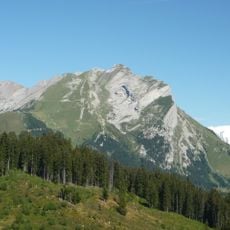
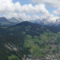
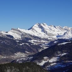
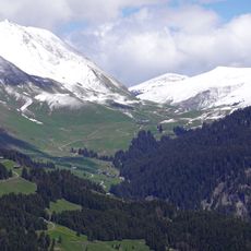
From the top, you can see the entire Aravis chain, the village of La Clusaz, and the Chaîne du Bargy mountain range all at once. This wide view of the surrounding peaks and valleys makes it a favorite spot for photographers and nature watchers.
The community of curious travelers
AroundUs brings together thousands of curated places, local tips, and hidden gems, enriched daily by 60,000 contributors worldwide.