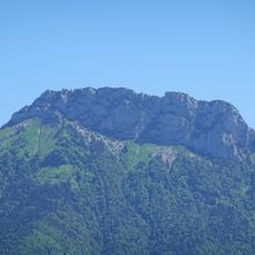
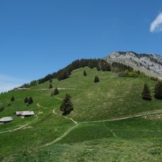
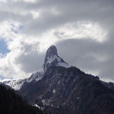
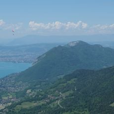
La Tournette, Mountain summit at Les Clefs and viewpoint at Talloires-Montmin, France
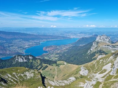
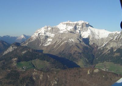
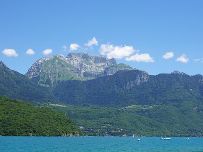
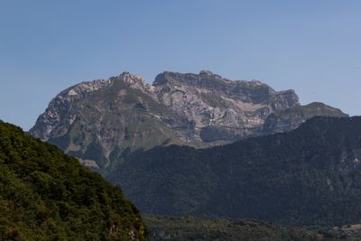
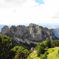
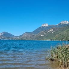
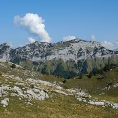
La Tournette is a limestone peak rising to 2,350 meters above sea level near Talloires-Montmin, offering views of Lake Annecy, the Aravis Range, and Mont Blanc. The summit is marked by two metal ladders anchored into the rock face, making the final approach steep and exposed.
Local mountain guides developed multiple climbing routes to this peak during the 19th century as Alpine exploration and tourism grew in the region. The technical routes were gradually expanded to provide access to what became a popular destination.
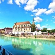
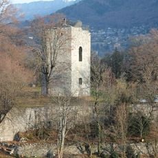
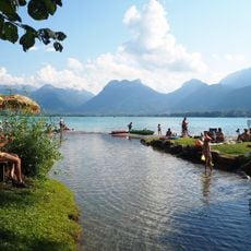
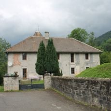
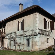
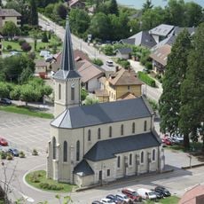
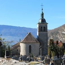
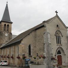
The name La Tournette refers to the peak's distinctive shape that resembles a small turning motion. The surrounding area reflects how mountain communities have shaped the landscape through generations of pastoral traditions.
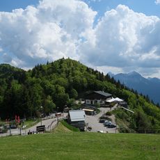
The ascent starts from Pré Ronds car park and follows a round-trip route of approximately 8 kilometers through mountain forest and rocky terrain. The journey takes around 6 hours and requires a head for heights, especially when climbing the final metal ladder sections.
Climbers who frequent this peak sometimes call it the "little Matterhorn" because of its ladders and steepness, though it remains far less crowded. The exposed nature of the final metal ladder section creates an unforgettable moment just before reaching the top.
The community of curious travelers
AroundUs brings together thousands of curated places, local tips, and hidden gems, enriched daily by 60,000 contributors worldwide.