Chest opened
+${chestReward.xp} XP
Explorer
NOUVEAU ×${chestReward.collectible.quantity}
tapez pour fermer
Chest locked

Open chests in the app

Around Us is built for your phone — chests unlock when you walk, explore and capture nearby places.

Enable Location

We need your location to show you interesting places around you

Discover nearby places

Find interesting locations and hidden gems around you

Precise directions

Get accurate directions and distances to places

Your location is never shared with other users. It's only used when you tap the location button.

A85 autoroute

Log in to your account

Start exploring — it's free

Trusted by 72,888 travelers worldwide

Continue with Google
Continue with Apple
or

We will send you a code to connect

By continuing, you accept our Terms and Conditions and our Privacy Policy

Check your inbox

We've sent a pincode in your inbox. Please enter the code below.

A85 autoroute
Discussion Reviews 1 Photos
15.8k Popularity

A85 autoroute, Autoroute of France

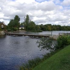
The A85 autoroute is a controlled-access highway in France running west to east through Maine-et-Loire, Indre-et-Loire, Loir-et-Cher, and Cher, linking Angers to the area around Vierzon. It crosses open farmland and river valleys, with two lanes in each direction and several bridges over tributaries of the Loire.

The first section of the A85 opened in 1997 between Angers and Bourgueil, and the road was extended eastward in stages over the following years. Construction slowed in places where the route crossed protected natural areas and sensitive river landscapes.

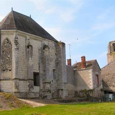
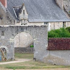
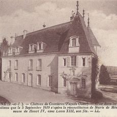
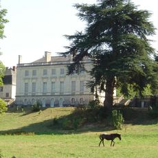
The road cuts through the Loire Valley, a region known for its wine and castles, connecting towns that visitors often explore by car. Local producers rely on this route to move goods between markets scattered across four departments.

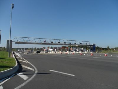
The A85 is a toll road, and service areas with fuel and rest stops are spread regularly along the route. Drivers heading into the Loire Valley or toward central France will find it a direct and well-signposted option.

Some of the bridges along the A85 were designed with extra clearance over certain rivers to allow fish and wildlife to move freely below. This was a direct result of pressure from environmental groups during the planning phase of the highway.

The community of curious travelers

AroundUs brings together thousands of curated places, local tips, and hidden gems, enriched daily by 60,000 contributors worldwide.

Start exploring
Location
Location
Location
Location
Part of
European route E60 in France, European route E604
GPS coordinates
47.30401,0.84881
Latest update
March 3, 2026 08:20
Reviews
Share your experience

No review yet

Discussions
Start a discussion...

No discussion yet

« A85 autoroute - Autoroute of France » is provided by Around Us (aroundus.com). Images and texts are derived from Wikimedia project under a Creative Commons license. You are allowed to copy, distribute, and modify copies of this page, under the conditions set by the license, as long as this note is clearly visible.

Discover hidden gems everywhere you go!

From secret cafés to breathtaking viewpoints, skip the crowded tourist spots and find places that match your style. Our app makes it easy with voice search, smart filtering, route optimization, and insider tips from travelers worldwide. Download now for the complete mobile experience.

Around Us App Screenshot

A unique approach to discovering new places

Le Figaro

All the places worth exploring

France Info

A tailor-made excursion in just a few clicks

20 Minutes

Around Us
Travel Guide & Maps
Download

Send to your phone

QR Code
1

Open the camera app on your mobile.

2

Point at the QR code with your camera. A notification will appear.

3

Tap the notification to open the link.