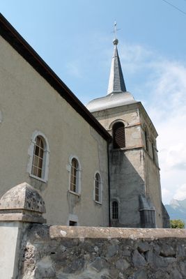
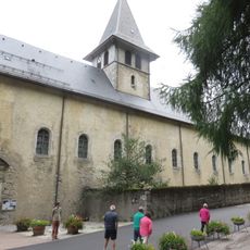
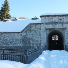
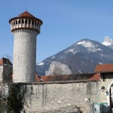
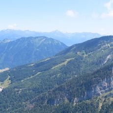
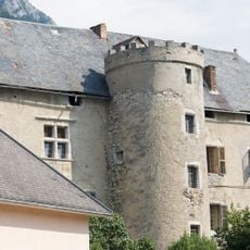
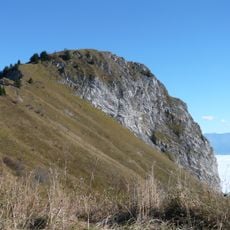
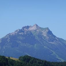
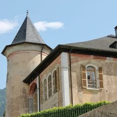
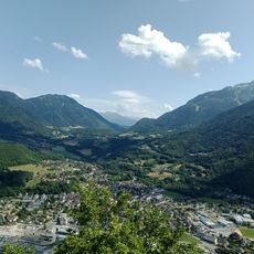
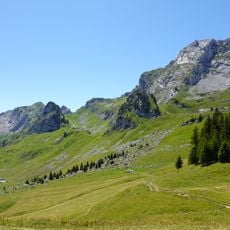
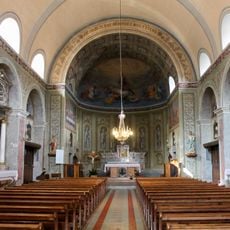
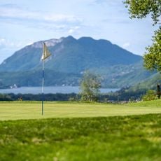
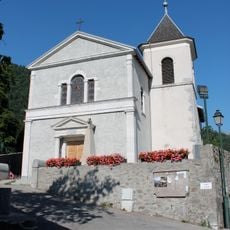
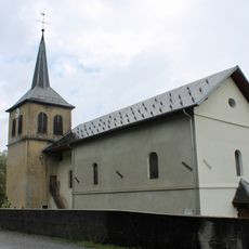
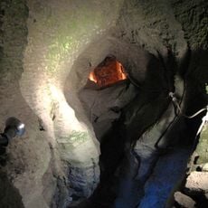
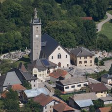
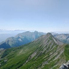
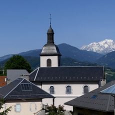
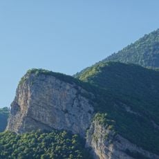
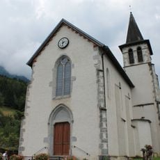
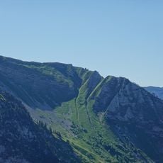
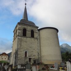
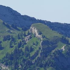
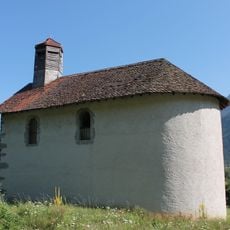
Seythenex, former commune in Haute-Savoie, France
Location: Haute-Savoie
Location: arrondissement of Annecy
Industry: administration publique générale
Shares border with: Jarsy, Mercury, Plancherine, Faverges-Seythenex, Giez
GPS coordinates: 45.72583,6.29972
Latest update: May 30, 2025 01:02
Tamié Abbey
4.3 km
Fort de Tamié
6 km
Abbaye de Tamié
4.3 km
Château de Faverges
2.2 km
La Sambuy-Seythenex
2.4 km
Château de Chevron
6.3 km
Roc Rouge
4.1 km
Pointe de la Sambuy
4.6 km
Château de Gye
5 km
Réserve nationale de chasse et de faune sauvage des Bauges
8.4 km
Thermes antiques de Faverges
2.7 km
Val de Tamié
4.1 km
Haut Chéran
8.7 km
Église Saint-Ferréol de Saint-Ferréol
4.5 km
Golf de Giez
5 km
Église Saint-Barthélémy de Giez
5.2 km
Croix d'Orizan
8.3 km
Église Saint-Michel d'Allondaz
6.1 km
Grotte et cascade de Seythenex
627 m
Église de la Chaire-de-Saint-Pierre de Mercury
6.4 km
Pointe de Chaurionde
5.7 km
Église Saint-Christophe de Plancherine
6.9 km
Roc de Viuz
3.6 km
Église Sainte-Colombe de Cons-Sainte-Colombe
3.3 km
Pointe des Auges
6.1 km
Église Saint-Sigismond de Seythenex
269 m
Lanche Close
7.5 km
Chapelle Saint-Gingulph de Bourgeal
4.4 kmReviews
Visited this place? Tap the stars to rate it and share your experience / photos with the community! Try now! You can cancel it anytime.
Discover hidden gems everywhere you go!
From secret cafés to breathtaking viewpoints, skip the crowded tourist spots and find places that match your style. Our app makes it easy with voice search, smart filtering, route optimization, and insider tips from travelers worldwide. Download now for the complete mobile experience.
A unique approach to discovering new places❞
— Le Figaro
All the places worth exploring❞
— France Info
A tailor-made excursion in just a few clicks❞
— 20 Minutes