Pointe de Chaurionde, Mountain summit in Bauges Massif, France
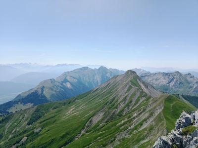
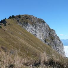
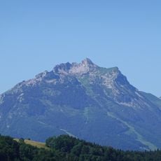
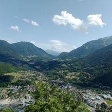
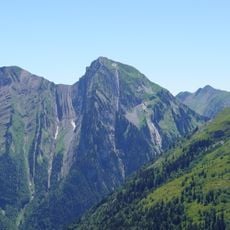
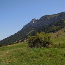
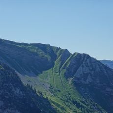
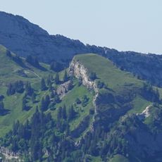
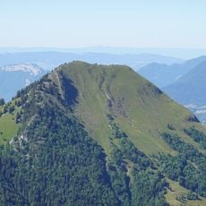
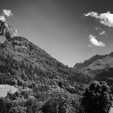
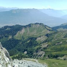
Pointe de Chaurionde is a mountain peak reaching 2173 meters in the Bauges Massif of the French Alps. It features steep slopes on several sides, rocky outcrops near the summit, and forested areas lower down with meadows in between.
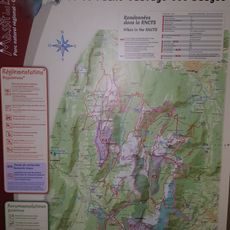
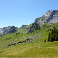
The Bauges Massif was established as a protected wildlife reserve in 1971 to conserve the region's natural species. This peak forms a central part of that reserve and has remained a key conservation area ever since.
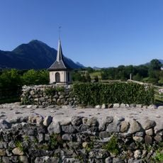
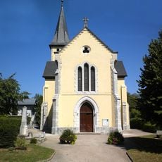
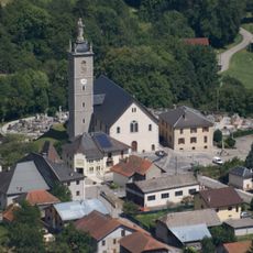
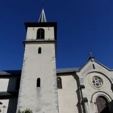
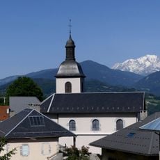
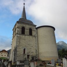
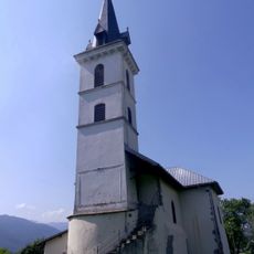
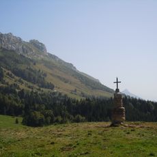
The peak sits within a protected mountain landscape where local communities have long practiced seasonal grazing and hiking traditions. People visiting the area today continue these customs by walking established trails and using rustic mountain shelters.
The summit is reachable from several starting points including mountain passes and nearby villages spread around the base. Hikers should allow several hours for the climb and bring sturdy footwear and layers to handle changing weather conditions.
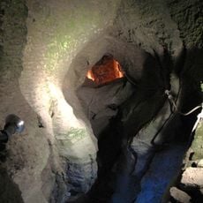
The peak displays distinctive limestone formations that characterize the Bauges region and attract climbers seeking varied terrain. From certain approaches, these rocky features add technical interest to what otherwise might be a straightforward mountain walk.
Location: Faverges-Seythenex
Location: Plancherine
Location: Jarsy
Elevation above the sea: 2,173 m
GPS coordinates: 45.68381,6.25839
Latest update: December 15, 2025 13:26
Tamié Abbey
3.6 km
Fort de Tamié
4.3 km
Abbaye de Tamié
3.6 km
Château de Chevron
6.2 km
Château de Tournon
6.4 km
Roc Rouge
6.9 km
Pointe de la Sambuy
1 km
Réserve nationale de chasse et de faune sauvage des Bauges
2.7 km
Val de Tamié
3.9 km
Église Saint-Jean-Baptiste de Cléry
5.2 km
Réserve biologique intégrale du Haut Chéran
5.5 km
Haut Chéran
3 km
Croix d'Orizan
3.4 km
Église Notre-Dame-de-la-Nativité de Frontenex
6.5 km
Grotte et cascade de Seythenex
6.2 km
Église de la Chaire-de-Saint-Pierre de Mercury
6.3 km
Église Saint-Trophime de Tournon
6.4 km
Église Saint-Christophe de Plancherine
5 km
Église Saint-André de Jarsy
7 km
Pointe de Banc Plat
7.1 km
Pointe des Auges
2.8 km
Église Saint-Sigismond de Seythenex
5.9 km
Église Saint-Vital de Saint-Vital
7 km
Dent des Portes
6.1 km
Lanche Close
6.5 km
Pointe du Velan
4 km
Dent de Pleuven
5.5 km
Parc du Mouton
1.6 kmVisited this place? Tap the stars to rate it and share your experience / photos with the community! Try now! You can cancel it anytime.
Discover hidden gems everywhere you go!
From secret cafés to breathtaking viewpoints, skip the crowded tourist spots and find places that match your style. Our app makes it easy with voice search, smart filtering, route optimization, and insider tips from travelers worldwide. Download now for the complete mobile experience.
A unique approach to discovering new places❞
— Le Figaro
All the places worth exploring❞
— France Info
A tailor-made excursion in just a few clicks❞
— 20 Minutes