
Villers-les-Ormes, former commune in Indre, France
Location: Indre
Location: arrondissement of Châteauroux
Shares border with: Chezelles, Déols, Niherne, Saint-Maur, Villedieu-sur-Indre, Vineuil
GPS coordinates: 46.86972,1.63278
Latest update: May 27, 2025 06:12
Château Raoul
7.6 km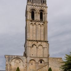
Église abbatiale Notre-Dame-du-Bourg-Dieu de Déols
7.1 km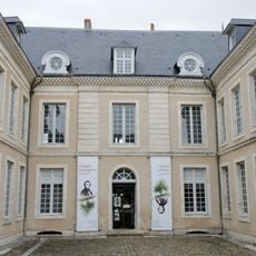
Hôtel Bertrand
7.8 km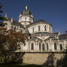
Église Notre-Dame de Châteauroux
7.8 km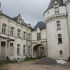
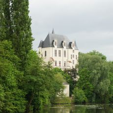
Château du Parc
7.4 km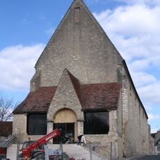
Couvent des Cordeliers de Châteauroux
7.7 km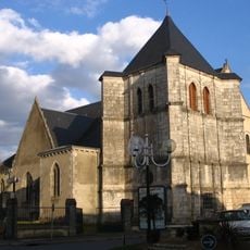
Église Saint-Étienne de Déols
7.2 km
Église Saint-Sébastien de Villedieu-sur-Indre
7.6 km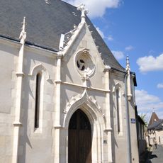
Chapelle Saint-Martin de Châteauroux
7.7 km
Jardin Public
7.5 km
Hôtel de préfecture de l'Indre, Châteauroux
7.7 km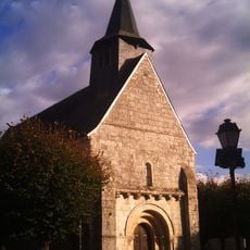
Église Saint-Sulpice de Niherne
6.9 km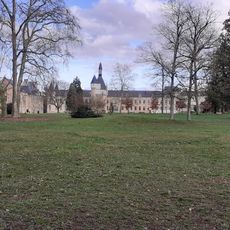
Parc Balsan
7.4 km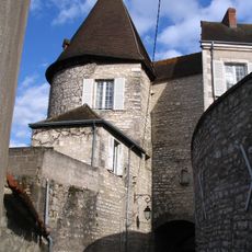
Porte de Châteauroux
7.7 km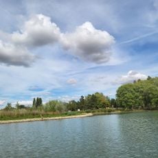
Carrousel de Belle Îsle
6.9 km
Golf du Val de l'Indre
6.9 km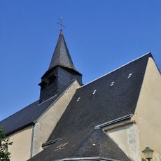
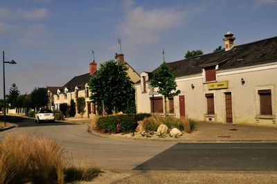
Église Saint-Martin de Vineuil
3.4 km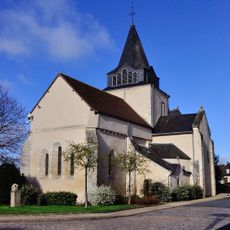
Église de Saint-Maur
7.1 km
Les Halles
7.8 km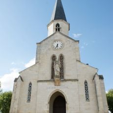
Église Saint-Christophe de Châteauroux
7 km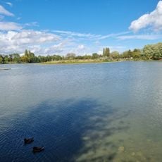
Base Nautique de Belle-Isle
6.8 km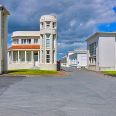
Usine Marcel Bloch
6.4 km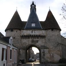
Porte de ville de Déols
7.1 km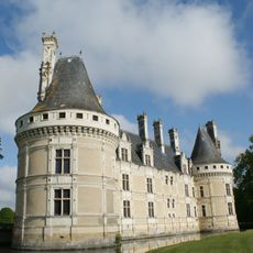
Château de Villegongis
5.6 km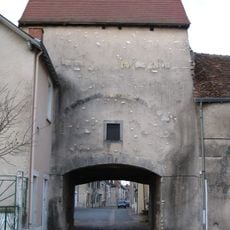
Porte du pont Perrin
7.1 km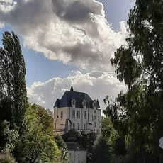
Pont Gütersloh
7.5 km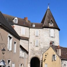
Porte de la vieille prison
7.7 km
Musée du Berry
7.4 kmReviews
Visited this place? Tap the stars to rate it and share your experience / photos with the community! Try now! You can cancel it anytime.
Discover hidden gems everywhere you go!
From secret cafés to breathtaking viewpoints, skip the crowded tourist spots and find places that match your style. Our app makes it easy with voice search, smart filtering, route optimization, and insider tips from travelers worldwide. Download now for the complete mobile experience.

A unique approach to discovering new places❞
— Le Figaro
All the places worth exploring❞
— France Info
A tailor-made excursion in just a few clicks❞
— 20 Minutes