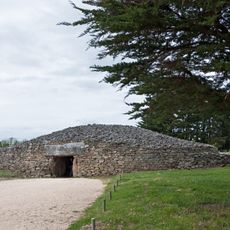
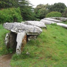
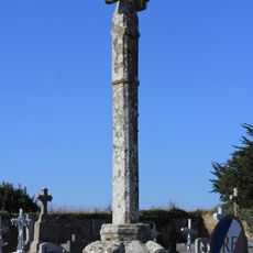
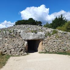
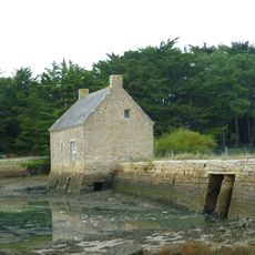
Tumulus d'Er Grah, Neolithic burial mound in Locmariaquer, France
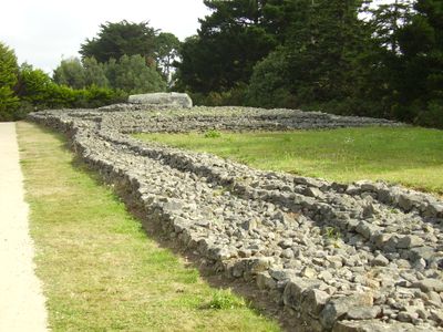
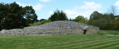
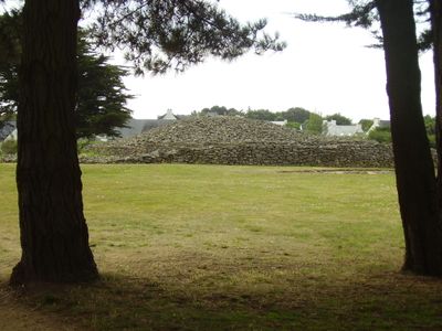
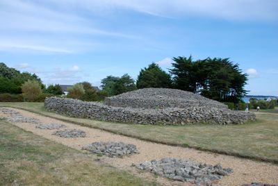
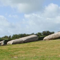
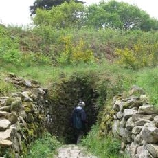
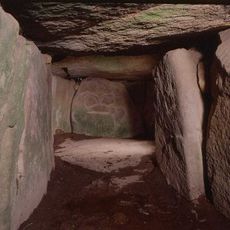
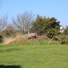
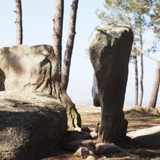
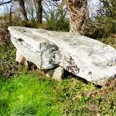
The Er Grah tumulus is a Neolithic burial mound stretching roughly 140 meters in length, combining stones and earth in a trapezoidal structure. It features layered stone construction with internal chambers and sits near the Gulf of Morbihan in the Breton landscape.
The monument was built during the late Neolithic period and underwent multiple expansions across different construction phases between roughly 4500 and 4000 BCE. Archaeological investigation beginning in 1908 revealed its original purpose as a burial site and how it evolved spatially over many generations.
The name derives from an old Breton word meaning stone, reflecting the deep connection between prehistoric communities and their landscape. The site demonstrates how these societies invested enormous effort in honoring their dead through monumental stone construction.
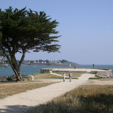
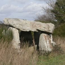
The site can be visited and sits within an area containing several other archaeological sites walkable in sequence. It helps to allow several hours to explore both this location and nearby structures such as the dolmen complex with adequate time for each stop.
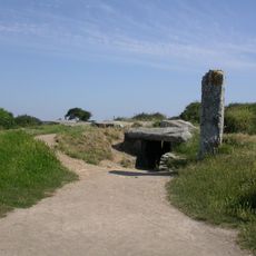
Archaeological finds from distant places like the Italian Alps and the Iberian Peninsula show that people of this time exchanged goods across vast distances. These trade connections reveal surprisingly far-reaching networks that existed during this early period.
The community of curious travelers
AroundUs brings together thousands of curated places, local tips, and hidden gems, enriched daily by 60,000 contributors worldwide.