Enable Location

We need your location to show you interesting places around you

Discover nearby places

Find interesting locations and hidden gems around you

Precise directions

Get accurate directions and distances to places

Your location is never shared with other users. It's only used when you tap the location button.

Mané-er-Hroëk tumulus

Log in to your account

Start exploring — it's free

Trusted by 62,590 travelers worldwide

Continue with Google
Continue with Apple
or

We will send you a code to connect

By continuing, you accept our Terms and Conditions and our Privacy Policy

Check your inbox

We've sent a pincode in your inbox. Please enter the code below.

Mané-er-Hroëk tumulus

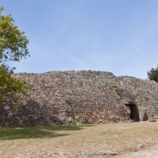
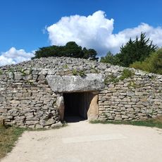
Mané-er-Hroëk tumulus, tumulus in Locmariaquer, France

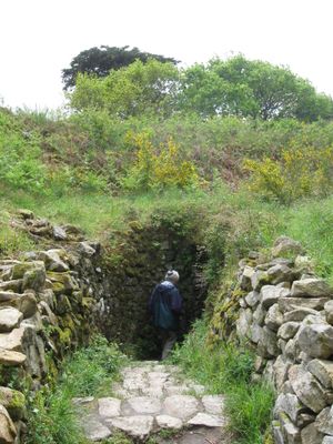
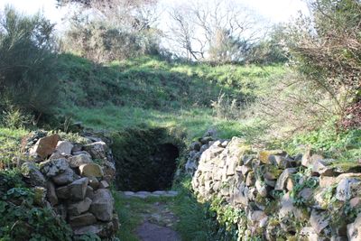
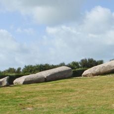
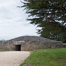
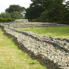
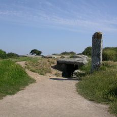
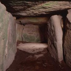
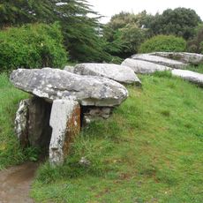
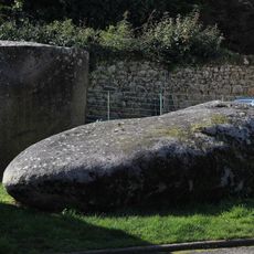
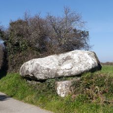
Mané-er-Hroëk is a large Neolithic burial mound in Locmariaquer, Brittany, shaped like an elongated oval measuring around 100 meters long and 60 meters wide, rising about 10 meters high. Inside lies a rectangular stone chamber approximately 4 meters long, built with massive flat stones forming the floor and ceiling.

This mound was built more than 6500 years ago during the Neolithic period when early settlers began constructing permanent monumental graves. In 1863, archaeologists René Galles and Jules Lefebvre excavated the site and uncovered numerous artifacts indicating long-distance trade connections.

This mound served as a gathering place for remembering the dead and honoring ancestors. The effort required to build such a large structure reflects how central burial rituals and collective memory were to the people who created it.

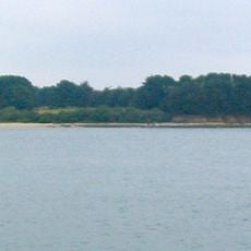
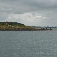
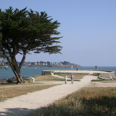
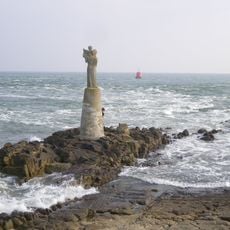
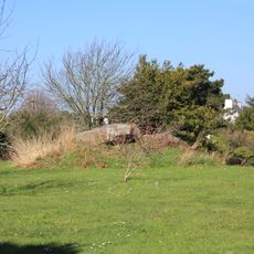
The site is freely accessible and open for exploration at any time, with the stone chamber accessible for visitors to view the interior structure. Wear sturdy shoes as the ground is uneven, and the location offers views over the Golfe du Morbihan.

Inside the chamber, archaeologists discovered rare objects including a jade disc and a necklace of 41 variscite beads that came from the Alps and Iberian Peninsula. These finds reveal that people buried here were connected to distant regions through trade networks that operated thousands of years ago.

The community of curious travelers

AroundUs brings together thousands of curated places, local tips, and hidden gems, enriched daily by 60,000 contributors worldwide.

Start exploring
Location
Address
Kerpenhir
GPS coordinates
47.56283,-2.93875
Latest update
February 9, 2026 08:20
« Mané-er-Hroëk tumulus - tumulus in Locmariaquer, France » is provided by Around Us (aroundus.com). Images and texts are derived from Wikimedia project under a Creative Commons license. You are allowed to copy, distribute, and modify copies of this page, under the conditions set by the license, as long as this note is clearly visible.

Discover hidden gems everywhere you go!

From secret cafés to breathtaking viewpoints, skip the crowded tourist spots and find places that match your style. Our app makes it easy with voice search, smart filtering, route optimization, and insider tips from travelers worldwide. Download now for the complete mobile experience.

Around Us App Screenshot

A unique approach to discovering new places

Le Figaro

All the places worth exploring

France Info

A tailor-made excursion in just a few clicks

20 Minutes

Around Us
Travel Guide & Maps
Download

Send to your phone

QR Code
1

Open the camera app on your mobile.

2

Point at the QR code with your camera. A notification will appear.

3

Tap the notification to open the link.