
Montagne Sainte-Victoire, Mountain range and ridge in Provence, France
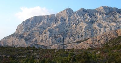
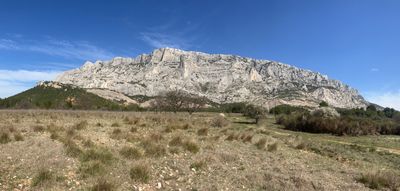
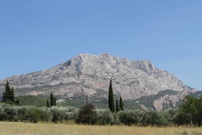
The limestone mountain formation extends over 18 kilometers between Bouches-du-Rhône and Var departments, reaching an elevation of 1011 meters at Pic des Mouches.
The mountain received its current name in the 17th century, following the construction of a chapel at its summit during the 13th century.
Paul Cézanne created numerous paintings of the mountain from his residence near Aix-en-Provence, making it a central subject in his artistic work.
The mountain paths accommodate 700,000 visitors annually, with access restrictions during summer months due to fire prevention measures.
A 19-meter-tall cross, known as Croix de Provence, stands prominently on the ridge despite not being located at the highest point.
Location: Bouches-du-Rhône
Location: Var
Elevation above the sea: 1,014 m
Made from material: sedimentary rock
Website: http://grandsitesaintevictoire.com
GPS coordinates: 43.53917,5.64528
Latest update: November 20, 2025 18:35
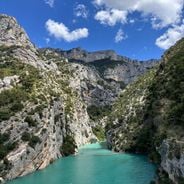
France offers motorcyclists a diverse landscape, from Alpine peaks to Mediterranean coasts, including wine regions. The country is suitable for all riding styles, with demanding mountain roads, winding coastal routes, and rural paths. Key routes include the Col de la Bonette, reaching 2802 meters and connecting Ubaye to Tinée over 26 kilometers. The Gorges du Verdon feature 21 kilometers of rock-carved road, passing through tunnels and 700-meter-high cliffs. The Routes of the Great Alps cross 16 passes over 684 kilometers between Lake Geneva and the Mediterranean, with a total ascent of 15,700 meters. Mount Ventoux, accessible via three routes and standing at 1912 meters, passes through lavender fields and vineyards in Provence. Regions display striking contrasts: Corsica alternates between cliff roads and pine forests, the French Riviera combines coast and mountainous hinterland, and Dordogne winds between limestone cliffs and medieval villages. Lake Annecy connects water bodies with forested mountain passes. These routes feature technical curves, varied landscapes, and cultural sites.
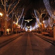
The Cours Mirabeau and Renaissance fountains define Aix-en-Provence's center. Notable structures include Saint-Sauveur Cathedral and Hôtel de Caumont. The landscape features Montagne Sainte-Victoire and Valensole lavender fields. The old town contains narrow streets, mansions, and markets. Museums display art from classical to modern periods, including works by Cézanne and Vasarely.
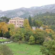
Château of Vauvenargues
3.7 km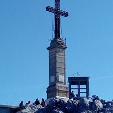
Croix de Provence
5.3 km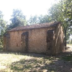
Chapelle Saint-Estève
8.7 km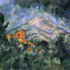
Château Noir du Tholonet
8.2 km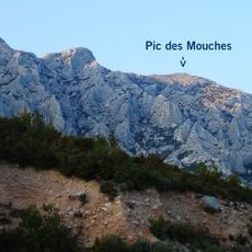
Pic des Mouches
25 m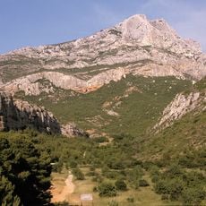
Grand Site Sainte-Victoire
2.7 km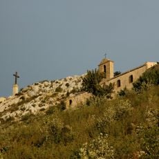
Priory of Sainte-Victoire
5.2 km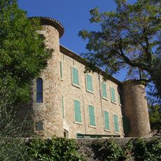
Château de Peynier
10.2 km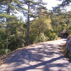
Col du Grand Sambuc
4.9 km
Römische Villa bei Rians
10.2 km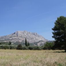
Réserve naturelle nationale de Sainte-Victoire
8.4 km
Anim'o park
9.4 km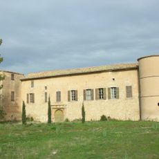
Château de Saint-Marc-Jaumegarde
9.7 km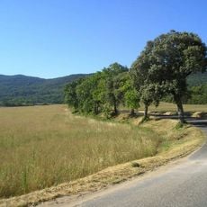
Montagne des Ubacs
4.7 km
Ancienne synagogue de Trets
10.8 km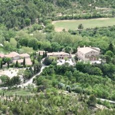
Château de Saint-Antonin
5.6 km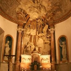
Église Notre-Dame-de-Nazareth (Trets)
10.9 km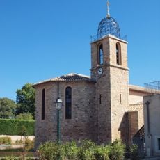
Église Saint-Antoine L'Ermite de Châteauneuf-le-Rouge
8.4 km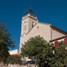
Église Saint-Pons de Puyloubier
2.9 km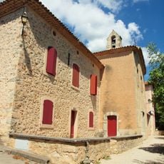
Église Saint-Antonin de Saint-Antonin-sur-Bayon
6 km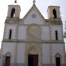
Église de l'Immaculée-Conception de Rousset
6.8 km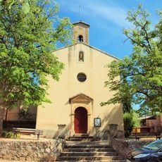
Église de l'Annonciation de Notre-Dame de Beaurecueil
8.6 km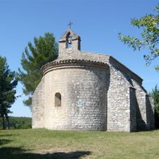
Chapelle Saint-Pierre
9.6 km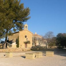
Église Saint-Marc de Saint-Marc-Jaumegarde
9.9 km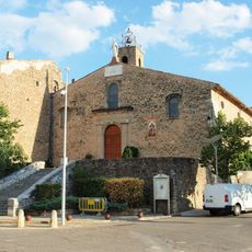
Église Sainte-Trophime de Pourrières
8.1 km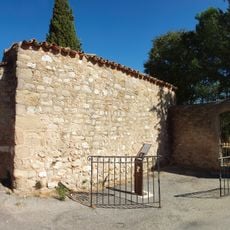
Chapelle Saint-Roch de Puyloubier
3 km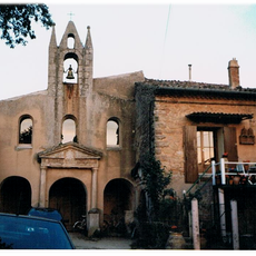
Chapelle Notre-Dame-du-Bois, du couvent des Minimes des Hermentaires
9.3 km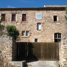
Couvent des Minimes de Pourrières
9.4 kmReviews
Visited this place? Tap the stars to rate it and share your experience / photos with the community! Try now! You can cancel it anytime.
Discover hidden gems everywhere you go!
From secret cafés to breathtaking viewpoints, skip the crowded tourist spots and find places that match your style. Our app makes it easy with voice search, smart filtering, route optimization, and insider tips from travelers worldwide. Download now for the complete mobile experience.

A unique approach to discovering new places❞
— Le Figaro
All the places worth exploring❞
— France Info
A tailor-made excursion in just a few clicks❞
— 20 Minutes