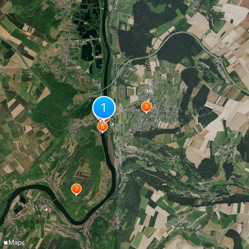
France–Germany border, International border in Alsace, France
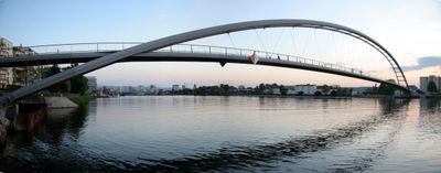
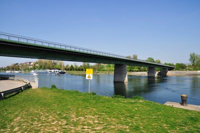
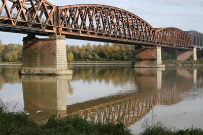
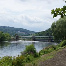
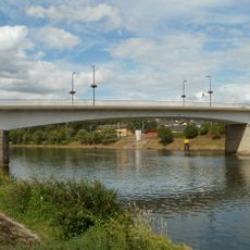
The border between France and Germany runs for around 450 kilometers and follows the Rhine from Saint-Louis to Lauterbourg across the Upper Rhine Plain. Multiple crossing points connect major cities like Strasbourg and Offenburg through railways, highways, and pedestrian bridges.
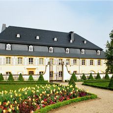
After the Franco-Prussian War in 1871, the region came under German control until the Treaty of Versailles in 1919 returned Alsace-Lorraine to France. This turning point shaped the region's fate for generations and defined its modern political identity.
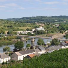
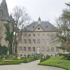
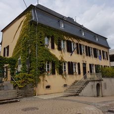
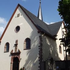
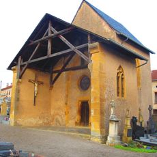
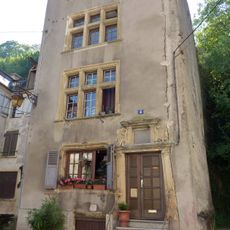
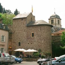
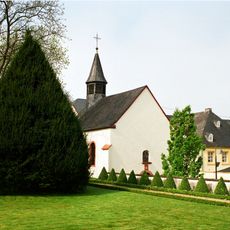
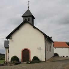
The border area shows French and German influences in architecture, food, and local traditions that blend in neighboring communities. People on both sides share similar customs and dialects that reflect their shared past.
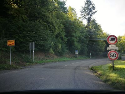
Crossing points vary in activity depending on traffic and time of day, with good connections for cars, trains, and pedestrians. It helps to check hours for smaller crossings, as not all operate around the clock.
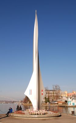
The Schengen tri-border point saw France, Germany, and Luxembourg sign an agreement in 1985 that opened borders across Europe. This deal became one of the most important travel agreements in European history.
The community of curious travelers
AroundUs brings together thousands of curated places, local tips, and hidden gems, enriched daily by 60,000 contributors worldwide.