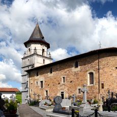
Mondarrain, Mountain and historic site in Labourd, France.
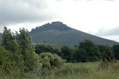
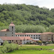
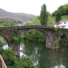
Mondarrain is a mountain in the Labourd region of the French Basque Country, rising between the villages of Espelette and Itxassou to around 750 meters. Its upper slopes are mostly open grassland, and the summit offers wide views over the surrounding hills and toward the Pyrenees.
During the Napoleonic Wars, Marshal Soult used the heights of Mondarrain as part of a defensive line along the Nivelle River to slow Wellington's advance into France. The positions on and around the mountain saw serious fighting in the autumn of 1813, when British and allied forces broke through the line.
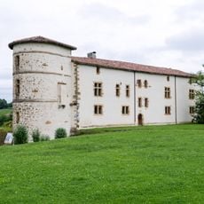
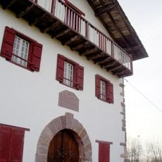
The mountain shaped Basque life for centuries as a gathering point and landmark that locals used to navigate the region, and shepherds still graze their flocks on its slopes today.
Marked trails lead to the summit from both Espelette and Itxassou, and most routes take a few hours on foot. The paths can get muddy after rain, so sturdy footwear and a check of the weather before setting out make the walk safer.
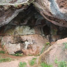
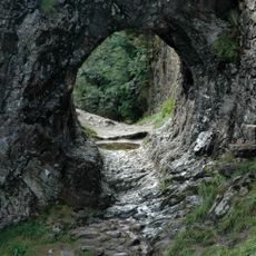
The summit of Mondarrain still holds visible remains of the early 19th-century fortifications, with earthworks and trenches that are easy to walk past without noticing. Looking closely at the ground near the top reveals these traces of the military past directly underfoot.
The community of curious travelers
AroundUs brings together thousands of curated places, local tips, and hidden gems, enriched daily by 60,000 contributors worldwide.