Enable Location

We need your location to show you interesting places around you

Discover nearby places

Find interesting locations and hidden gems around you

Precise directions

Get accurate directions and distances to places

Your location is never shared with other users. It's only used when you tap the location button.

Quai de la Seine

Log in to your account

Join the adventure

Create your free account and start exploring

Save your favorite places
Create custom travel routes
Rate and review places
Access the full interactive map
Continue with Google
Continue with Apple
Continue with email
By continuing, you accept our Terms and Conditions and our Privacy Policy
Create an account

Quai de la Seine

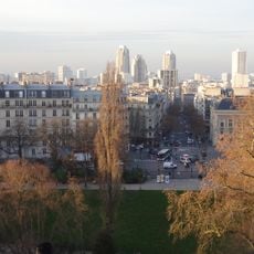
Quai de la Seine, Riverfront district in 19th arrondissement, Paris, France

Description

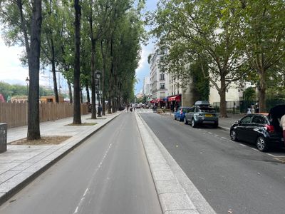
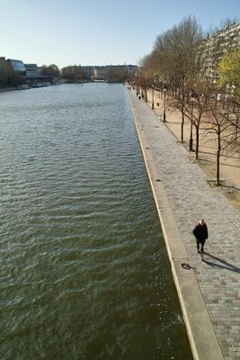
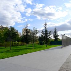
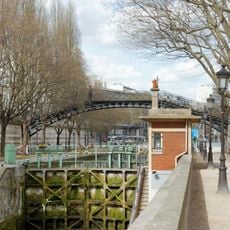
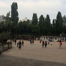
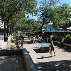
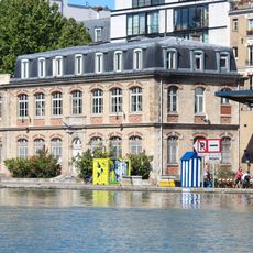
The Quai de la Seine is a waterfront path along the Bassin de la Villette lined with mature linden and wingnut trees that provide shade. The walkway stretches for 850 meters with sandy areas for playing petanque and wide spaces for strolling and sitting by the water.

History

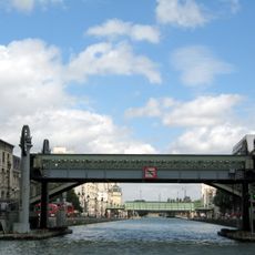
The waterfront path began as a departmental road in 1829 and received its current name in 1857. It became part of Paris's official street system in 1863 and has remained a key feature of the neighborhood since then.

Culture

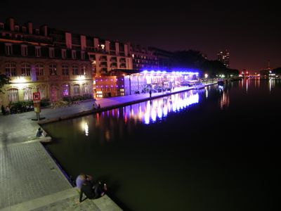
The waterfront serves as a neighborhood gathering place where people come to walk, jog, and spend time by the water. Local cafés and the cinema create meeting points that draw residents and visitors to explore the promenade throughout the day.

Practical

The walkway is easily accessible on foot and well-connected by metro stations Stalingrad, Riquet, and Crimée nearby. The wide path is flat and shaded by trees, making it comfortable for walking at any time of day.

Did you know?

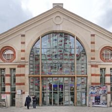
At number 33, fashion designer André Courrèges created a building with a bold entrance shaped like an inverted V that stands out along the waterfront. This striking structure dates to the 1970s and remains a distinctive architectural detail that catches the eye of passersby.

i
Inception
1829
i
Length
850 m
i
Width
12 m
i
Part of
road network of Paris
i
Shares border with
avenue de Flandre, passage de Flandre, place de la Bataille-de-Stalingrad, promenade Signoret-Montand, rue de Crimée, rue de Rouen, rue de Soissons, rue Duvergier, rue Riquet, Allées Jacques-Brel, Promenade Jeanne-Moreau, Promenade Florence-Arthaud
i
GPS coordinates
48.88680,2.37481
i
Latest update
December 8, 2025 19:59

AroundUs brings together thousands of curated places, local tips, and hidden gems, enriched daily by 60,000 contributors worldwide. Discover all places nearby (19th arrondissement of Paris).

Reviews

Visited this place? Tap the stars to rate it and share your experience / photos with the community! Try now! You can cancel it anytime.

« Quai de la Seine - Riverfront district in 19th arrondissement, Paris, France » is provided by Around Us (aroundus.com). Images and texts are derived from Wikimedia project under a Creative Commons license. You are allowed to copy, distribute, and modify copies of this page, under the conditions set by the license, as long as this note is clearly visible.

Discover hidden gems everywhere you go!

From secret cafés to breathtaking viewpoints, skip the crowded tourist spots and find places that match your style. Our app makes it easy with voice search, smart filtering, route optimization, and insider tips from travelers worldwide. Download now for the complete mobile experience.

Around Us App Screenshot

A unique approach to discovering new places

Le Figaro

All the places worth exploring

France Info

A tailor-made excursion in just a few clicks

20 Minutes