Enable Location

We need your location to show you interesting places around you

Discover nearby places

Find interesting locations and hidden gems around you

Precise directions

Get accurate directions and distances to places

Your location is never shared with other users. It's only used when you tap the location button.

Log in to your account

Start exploring — it's free

Trusted by 61,656 travelers worldwide

Continue with Google
Continue with Apple
or

We will send you a code to connect

By continuing, you accept our Terms and Conditions and our Privacy Policy

Check your inbox

We've sent a pincode in your inbox. Please enter the code below.

Roc de la Campana

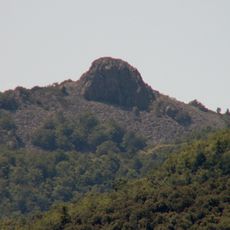
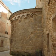
Roc de la Campana, Mountain summit in Maçanet de Cabrenys, Spain and Amélie-les-Bains-Palalda, France.

Description

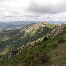
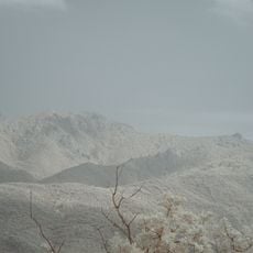
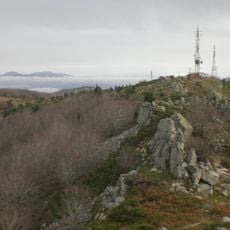
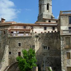
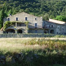
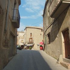
Roc de la Campana is a mountain summit on the Spanish-French border in the eastern Pyrenees with steep slopes and rocky terrain throughout. The peak can be accessed by hiking paths from both the Spanish and French sides, each offering distinct route options.

History

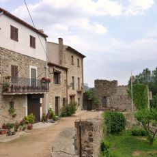
The mountain formed through ancient geological processes in the Pyrenees and served as a viewing point to monitor movements across the border over many centuries. Its location made it a natural reference point for people crossing between regions at different times in history.

Culture

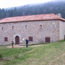
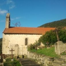
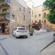
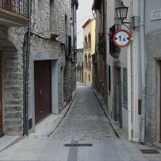
The mountain sits on a border where hikers from both countries meet, sharing their separate mountain traditions and local ways of spending time outdoors. The summit becomes a natural gathering spot where Spanish and French visitors cross paths and experience the landscape together.

Practical

Hikers can start their climb from either side of the border, with each approach offering different difficulty levels and path conditions. It helps to check local conditions beforehand and bring proper gear since the terrain is rocky and exposed in many places.

Did you know?

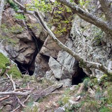
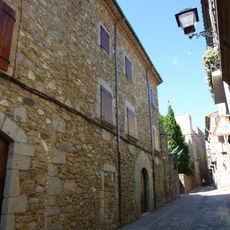
The Spanish and French sides of the mountain show different rock formations, creating distinct ecosystems just meters apart from each other. Visitors can notice significant differences in plants and geology across this short distance.

Elevation above the sea
1,436.6 m
GPS coordinates
42.41891,2.71331
Latest update
December 15, 2025 13:30

AroundUs brings together thousands of curated places, local tips, and hidden gems, enriched daily by 60,000 contributors worldwide. Discover all places nearby (Maçanet de Cabrenys).

« Roc de la Campana - Mountain summit in Maçanet de Cabrenys, Spain and Amélie-les-Bains-Palalda, France » is provided by Around Us (aroundus.com). Images and texts are derived from Wikimedia project under a Creative Commons license. You are allowed to copy, distribute, and modify copies of this page, under the conditions set by the license, as long as this note is clearly visible.

Discover hidden gems everywhere you go!

From secret cafés to breathtaking viewpoints, skip the crowded tourist spots and find places that match your style. Our app makes it easy with voice search, smart filtering, route optimization, and insider tips from travelers worldwide. Download now for the complete mobile experience.

Around Us App Screenshot

A unique approach to discovering new places

Le Figaro

All the places worth exploring

France Info

A tailor-made excursion in just a few clicks

20 Minutes

Around Us
Travel Guide & Maps
Download

Send to your phone

QR Code
1

Open the camera app on your mobile.

2

Point at the QR code with your camera. A notification will appear.

3

Tap the notification to open the link.