Punta alla Vetta, Mountain summit in Corse-du-Sud, France
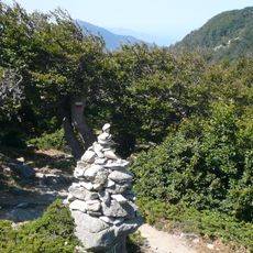
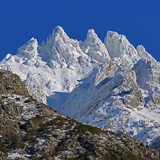
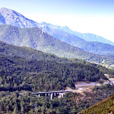
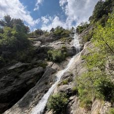
Punta alla Vetta is a granite peak in southern Corsica that rises to approximately 2255 meters between the Prunelli and Gravona valleys. The mountain is characterized by steep rocky slopes covered with sparse vegetation typical of high elevations.
This peak traditionally served as a natural boundary between the communities of Bastelica, Tavera, and Bocognano in southern Corsica. Its location made it an important reference point for territorial divisions and local navigation across the region.
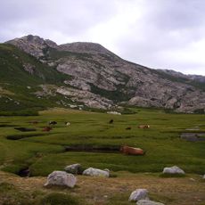
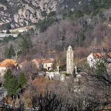
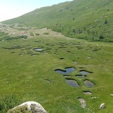
The summit marks the highest point of an arc-shaped chain separating the Prunelli and Gravona valleys, with the villages of Bastelica, Bocognano and Tavera below. Its Corsican name, Punta à a Vetta, means "peak of the summit". The surrounding pozzines of Puzzolu, high-altitude wetlands between 1600 and 2200 metres, are a notable feature of the massif.
Reaching the summit requires mountaineering experience and solid preparation, as the ascent is technically demanding. Visitors should expect changeable weather conditions at this elevation and bring appropriate gear for high-altitude conditions.
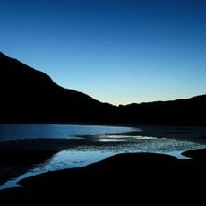
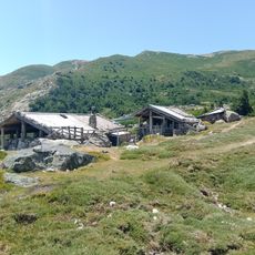
Between 1600 and 2200 meters elevation, this mountain hosts pozzines, rare high-altitude wetlands with specialized plant communities found in only a few mountain regions worldwide.
The community of curious travelers
AroundUs brings together thousands of curated places, local tips, and hidden gems, enriched daily by 94,657 contributors worldwide.