Enable Location

We need your location to show you interesting places around you

Discover nearby places

Find interesting locations and hidden gems around you

Precise directions

Get accurate directions and distances to places

Your location is never shared with other users. It's only used when you tap the location button.

GR 20

Log in to your account

Start exploring — it's free

Trusted by 62,936 travelers worldwide

Continue with Google
Continue with Apple
or

We will send you a code to connect

By continuing, you accept our Terms and Conditions and our Privacy Policy

Check your inbox

We've sent a pincode in your inbox. Please enter the code below.

GR 20
Discussion Reviews 5 Photos
96.9k Popularity

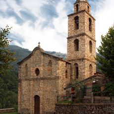
GR 20, Long-distance trail in Corsica, France

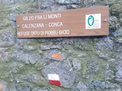
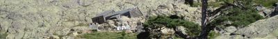
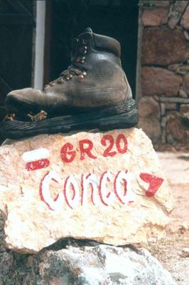
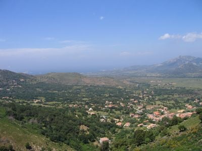
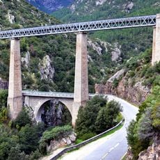
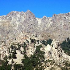
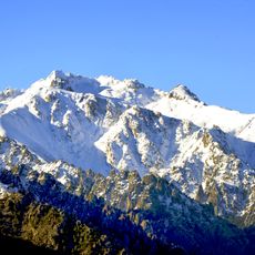
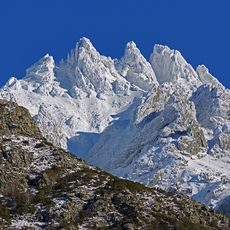
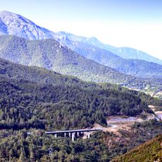
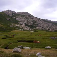
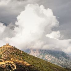
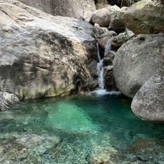
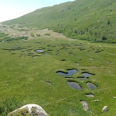
The GR 20 is a long-distance footpath that runs roughly 180 kilometers (112 miles) through Corsica, linking the village of Calenzana in the north to Conca in the south. The route crosses alpine terrain with rock formations, narrow ridges and mountain passes, passing through several valleys between the island's highest peaks.

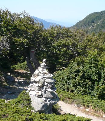
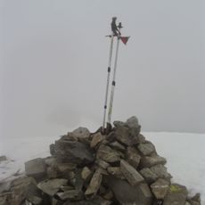
Michel Fabrikant marked the trail in 1972, connecting old shepherd paths and mountain routes into a continuous course. The marking made the mountains accessible to walkers and transformed historical links between villages into a coherent footpath.

The name Grande Randonnée refers to a French network of marked footpaths established since the 1940s. The red and white paint marks along the route follow a uniform system that helps walkers navigate through the mountains and keeps traditional paths visible.

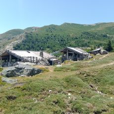
The trail is divided into roughly 15 stages running between mountain huts that provide basic sleeping quarters and meals. Between June and September, booking huts in advance is advisable because spaces fill quickly during this period.

Walkers climb and descend a total of roughly 12,000 meters (39,370 feet) throughout the full route, nearly twice the height of the central Alpine summits. This constant ascent and descent makes the journey more demanding than many longer routes in other European mountain ranges.

The community of curious travelers

AroundUs brings together thousands of curated places, local tips, and hidden gems, enriched daily by 60,000 contributors worldwide.

Start exploring
Location
GPS coordinates
42.12713,9.13276
Latest update
December 12, 2025 23:38
Reviews
Share your experience

No review yet

Discussions
Start a discussion...

No discussion yet

« GR 20 - Long-distance trail in Corsica, France » is provided by Around Us (aroundus.com). Images and texts are derived from Wikimedia project under a Creative Commons license. You are allowed to copy, distribute, and modify copies of this page, under the conditions set by the license, as long as this note is clearly visible.

Discover hidden gems everywhere you go!

From secret cafés to breathtaking viewpoints, skip the crowded tourist spots and find places that match your style. Our app makes it easy with voice search, smart filtering, route optimization, and insider tips from travelers worldwide. Download now for the complete mobile experience.

Around Us App Screenshot

A unique approach to discovering new places

Le Figaro

All the places worth exploring

France Info

A tailor-made excursion in just a few clicks

20 Minutes

Around Us
Travel Guide & Maps
Download

Send to your phone

QR Code
1

Open the camera app on your mobile.

2

Point at the QR code with your camera. A notification will appear.

3

Tap the notification to open the link.