L'Échelle, Volcanic summit in Capesterre-Belle-Eau, Guadeloupe, France.
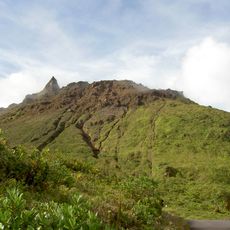
L'Échelle is a volcanic summit in Gourbeyre, Guadeloupe, rising to approximately 1397 meters above sea level. The slopes display dense vegetation and expose the volcanic rock formations that make up the mountain's structure.
L'Échelle is a volcanic summit of Basse-Terre, formed within the same volcanic complex as the active Soufrière and La Citerne. The sources record no eruption date for the peak itself; its history is tied to the massif that produced the surrounding summits above the Carbet and Galion falls. A hiking path to the Soufrière summit passes through the col de l'Échelle.
L'Échelle lies on the route to the Soufrière via the col de l'Échelle, a pass named after the peak. Hikers crossing this col pass between the summit and the path toward the volcano, and the name L'Échelle ("the ladder") marks the climb on this approach.
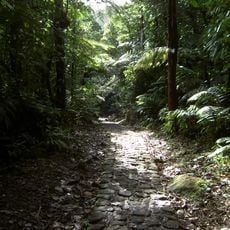
Several hiking trails ascend from the surrounding valleys toward the summit and require sturdy footwear and adequate water supplies. The journey takes several hours and becomes progressively more challenging as elevation increases.
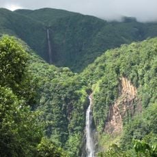
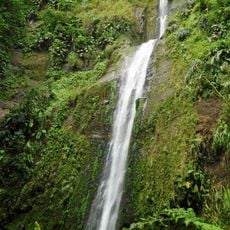
The summit sits between the active Soufrière volcano and La Citerne, offering views of both Carbet Falls and Galion Falls from higher ground. This positioning makes it a natural vantage point for observing several geological features across the region.
The community of curious travelers
AroundUs brings together thousands of curated places, local tips, and hidden gems, enriched daily by 92,861 contributors worldwide.