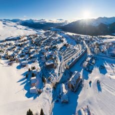
Cime des Torches, Mountain peak in Auvergne-Rhône-Alpes, France
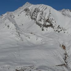
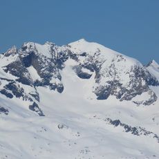
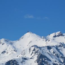
Cime des Torches is a mountain peak in the French Alps positioned between the Maurienne Valley and the Oisans massif, standing at about 2760 meters. The slopes feature steep rock sections interrupted by grassy areas that lead to a relatively flat summit plateau.
The mountain was systematically surveyed and documented during early mapping of the Grandes Rousses range, when explorers were investigating the area. This work occurred during a period when detailed surveying of the Alps was advancing rapidly.
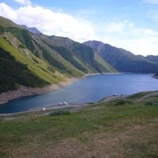
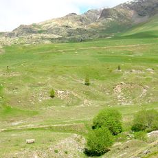
The paths around this peak reveal patterns of shepherding that have shaped the landscape for generations, with herds still grazing on the high pastures. Local communities continue to use these traditional routes during seasonal migrations.
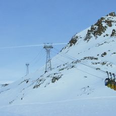
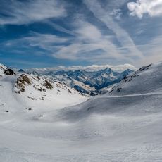
The ascent demands substantial hiking experience, with an elevation gain of roughly 1750 meters and multiple technical rock sections along the ridge. The route from Petit Agnelin is exposed and requires sure-footedness and a head for heights.
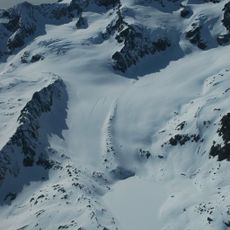
The summit holds an unexpected grassy flatland at nearly 3000 meters elevation, which contrasts sharply with the rocky peaks typical of the region. This surprising plateau creates a rare level space at this otherwise steep mountain summit.
The community of curious travelers
AroundUs brings together thousands of curated places, local tips, and hidden gems, enriched daily by 60,000 contributors worldwide.