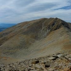
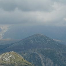
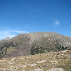
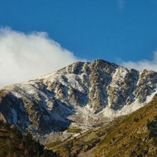
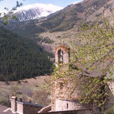
Roc de la Rouquette, Mountain summit in Occitanie, France.
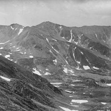
Roc de la Rouquette is a mountain summit in the French Pyrenees standing at approximately 2,100 meters. The peak sits at a junction where several hiking routes converge, offering hikers multiple approaches from different directions.
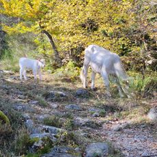
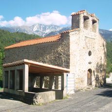
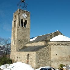
The mountain served as a natural boundary between different communes across generations, making it an important reference point for the region. Shepherds used it as a landmark to navigate through the surrounding valleys.
Local mountaineering groups regularly organize guided expeditions to Roc de la Rouquette, teaching participants about regional geology and alpine flora.
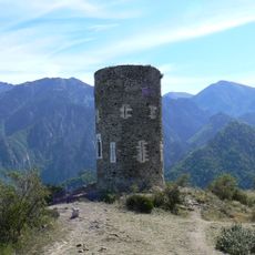
The summit is accessible via several clearly marked trails from nearby villages, with parking available at the main starting points. Weather conditions change quickly at this elevation, so it's important to check forecasts and bring appropriate gear before heading out.
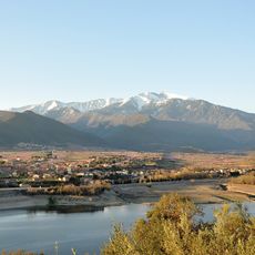
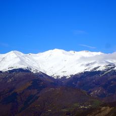
Roc de la Rouquette offers direct views of both Mediterranean landscapes and Pyrenean peaks from its distinctive position at coordinates 42.4875°N, 2.4058°E.
The community of curious travelers
AroundUs brings together thousands of curated places, local tips, and hidden gems, enriched daily by 60,000 contributors worldwide.