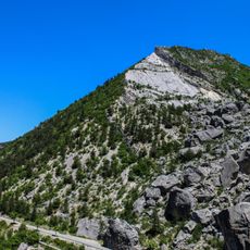
Quigouret, Mountain peak in Hautes-Alpes, France
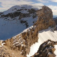
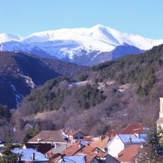
Quigouret is a mountain peak in the Hautes-Alpes that rises to 1234 meters and forms part of the Luzet mountain range. The summit marks a natural boundary between the Diois region and Bochaine.
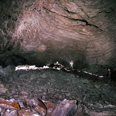
The summit was shaped during the pre-Senonian period when geological forces created successive folds running along an East-West axis. These tectonic movements produced multiple anticlines and synclines in the area.
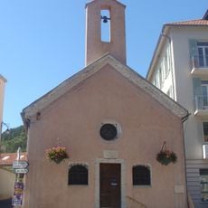
Local shepherds maintain traditional pastoral practices around Quigouret, using mountain paths and seasonal cabins for their livestock management.
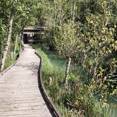
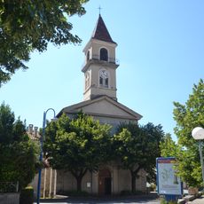
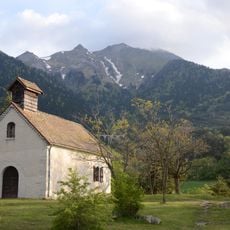
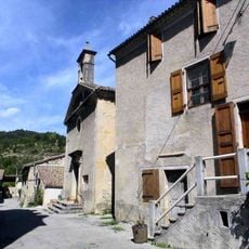
The main hiking route starts from Vaunières village and follows a circuit trail through varied terrain. Visitors should prepare for changing ground conditions and steep sections along the way.
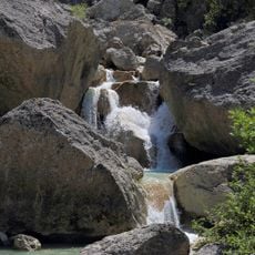
The peak serves as a water divide that directs flowing water into two different river systems. One side drains toward the Drôme while the other directs flow toward the Buëch.
The community of curious travelers
AroundUs brings together thousands of curated places, local tips, and hidden gems, enriched daily by 60,000 contributors worldwide.