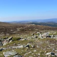
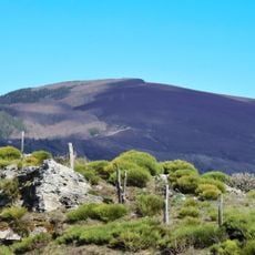
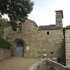
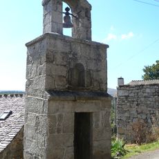
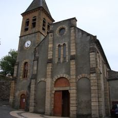
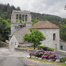
Mont Lozere - Pic Cassini, Mountain summit in Cévennes National Park, France.
Pic Cassini is a summit at 1542 meters in Cevennes National Park, with beech and creeping pine forests covering its slopes. The mountain is accessible via several hiking trails that connect to the wider network of paths in the region.
The summit is named after the Cassini family, who conducted geographical surveys in the 18th century for France's first detailed topographical map. This mapping work under King Louis XV established the foundation for understanding the country's landscape and terrain.
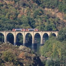
The GR70 hiking path near the summit follows the route documented by Robert Louis Stevenson in his 1878 travel account of the Cévennes. This classic trail remains popular with visitors interested in retracing the Scottish writer's journey through the region.
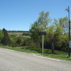
The hike starts from the Mas de la Barque parking area and covers about 9 kilometers with roughly 300 meters of elevation gain to reach the summit. You should plan around three hours for the round trip and bring adequate water, as the terrain offers limited shade in some sections.
The former ski station at Mas de la Barque switched from downhill to cross-country skiing in 1994 because snow conditions became unreliable for winter sports. This shift reveals how climate has shaped the use of the mountain over recent decades.
The community of curious travelers
AroundUs brings together thousands of curated places, local tips, and hidden gems, enriched daily by 60,000 contributors worldwide.