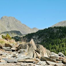
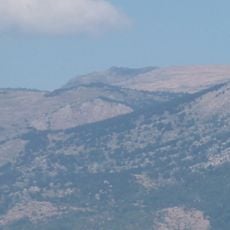
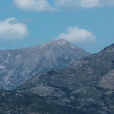
Pic d'Auriol, Mountain summit in the Pyrenees, France.
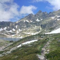
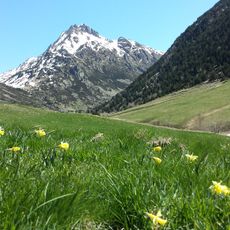
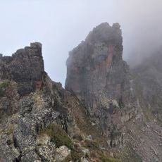
Pic d'Auriol is a mountain summit in the French Pyrenees that reaches approximately 2600 meters in elevation, with steep rocky flanks. The peak shows the raw, craggy structures typical of high alpine terrain in this mountain range.
The peak served as a reference point beginning in the 18th century for mapping the French-Spanish border. Military surveying teams relied on its prominent location to accurately measure the boundary region.
The summit serves as a gathering place for hikers from the Ariège region, where local knowledge about mountain routes and navigation is shared among outdoor enthusiasts.
The ascent requires good mountain fitness and familiarity with alpine terrain, as steep and exposed sections are present along the route. Sturdy footwear and weather-resistant gear are essential, especially since conditions can change rapidly at this elevation.
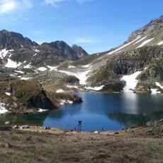
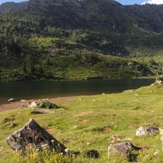
From the summit, several alpine lakes can be reached, including Étang des Bésines and Étang de Soula Couloumé. These lakes are connected by a network of hiking paths that offer walkers multiple ways to explore the high mountain terrain.
The community of curious travelers
AroundUs brings together thousands of curated places, local tips, and hidden gems, enriched daily by 60,000 contributors worldwide.