Rocher Rénod, Summit in Vanoise massif, France
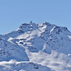
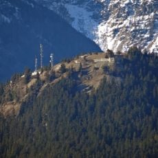
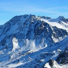
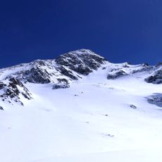
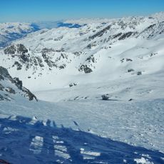
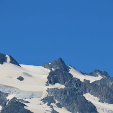
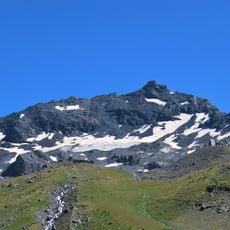
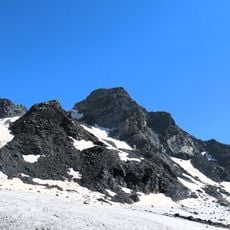
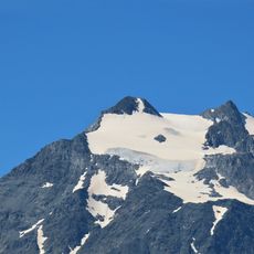
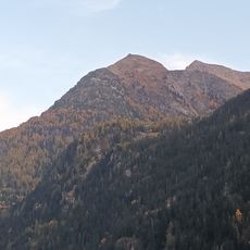
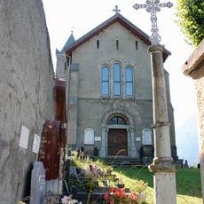
Rocher Rénod is a summit in the Vanoise massif, on the border of the communes of Orelle and Saint-André in Savoie. Its southern end reaches 2,872 metres and overlooks the Notre-Dame-des-Anges chapel of Orelle, while a 2,987-metre breach separates it from the pointe Rénod. The upper slopes are bare grey rock with snow in the gullies; below lie scree and scattered conifers, with a single slender pole on the lower middle slope.
The name "In cima Reynout" appears in 1317, in a document granting forest rights (an albergement) to the commoners of Orelle. Adolphe Gros derives Rénod from Renaud, via the Germanic Rainaldus. The summit later marked the boundary between the communes of Orelle and Saint-André.
The name Rénod derives from Renaud, from the Germanic Rainaldus, and appears as "In cima Reynout" in a 1317 document recording an albergement of forests to the communiers of Orelle. The southern end of the summit, at 2,872 m, rises above the Notre-Dame-des-Anges chapel of Orelle.
The Orelle cable car and Arcelin trail lead to Plan Bouchet, which serves as the main departure point for the western face approach. Weather conditions change quickly at altitude, so start early and monitor conditions throughout the day.
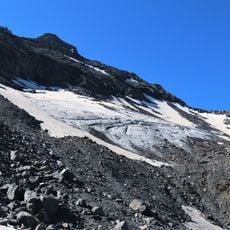
The summit's rocks are conglomerates, sandstones and schists with coal-bearing zones, mainly anthracite, dated between the Namurian and Westphalian stages of the Carboniferous. The Orelle cable car crosses the western side of the summit, so riders pass close to these layers without climbing.
The community of curious travelers
AroundUs brings together thousands of curated places, local tips, and hidden gems, enriched daily by 92,890 contributors worldwide.