Ilulissat Icefjord, Protected fjord in Avannaata, Greenland
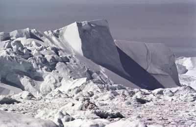
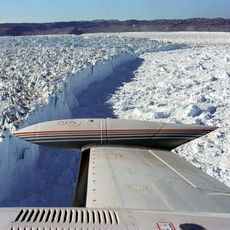
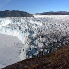
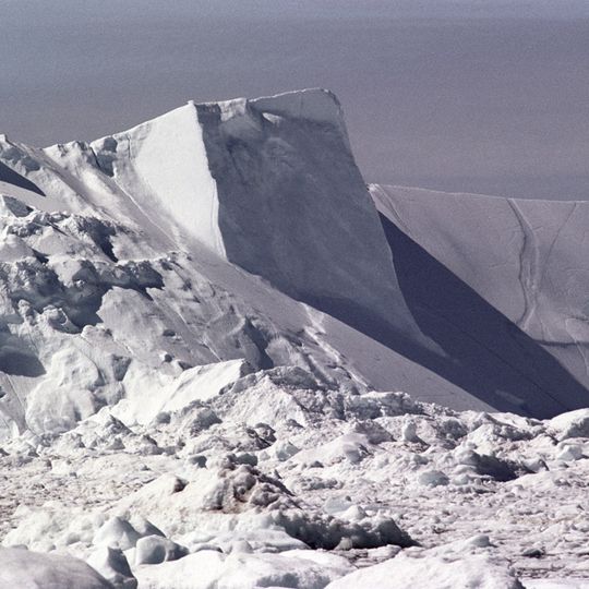
Ilulissat Icefjord runs about 40 km west from the Greenland ice sheet to Disko Bay, just south of Ilulissat. It is fed by Sermeq Kujalleq (Jakobshavn Isbræ), which calves roughly 35 km³ of ice annually. At its head the fjord is nearly 10 km wide and narrows toward its mouth. Icebergs up to a kilometer high can jam on a moraine 200–225 m below sea level.
The fjord gained UNESCO World Heritage status in 2004, recognizing its importance for understanding how climate and glaciers have changed over time. This designation marked its value as a place where scientists can study natural processes shaping our planet.
The name Kangia, meaning "its east", is the everyday Greenlandic name for the fjord's head, while the official name is Kangiata Sullua, "the pipe of Kangia". Near Ilulissat lies the old settlement of Sermermiut, "dwellers of the glacier", with remains of the Saqqaq, Early Dorset and Thule cultures. Residents still take Greenland halibut and ringed seals from the fjord, mainly in winter when ice activity is lowest, often by dogsled.
Visitors can walk marked trails along the fjord's edges or take boat trips to see the icebergs up close. Summer brings milder weather and longer daylight hours, making it the ideal season for exploring this landscape.
Icebergs up to a kilometre tall can be too big to float down the fjord and lodge on a moraine bank 200–225 m below sea level at its mouth, sometimes for years, until pressure from ice behind breaks them loose. One of these icebergs is thought to have collided with the Titanic in 1912.
The community of curious travelers
AroundUs brings together thousands of curated places, local tips, and hidden gems, enriched daily by 93,195 contributors worldwide.