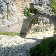
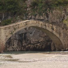
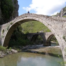
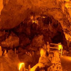
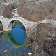
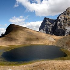
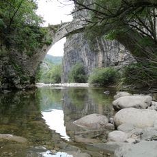
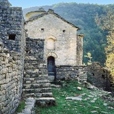
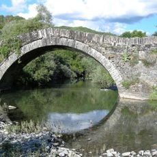
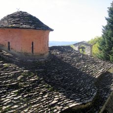
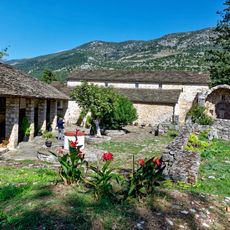
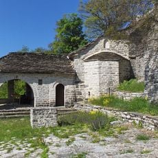
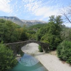
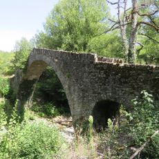
Zagori Municipality, municipality in Epirus, Greece
Location: Ioannina Regional Unit
Inception: 2010
Shares border with: Grevena Municipality, Ioannina Municipality, Zitsa Municipality, Konitsa Municipality, Metsovo Municipality, Pogoni Municipality
Website: http://zagori.gov.gr
GPS coordinates: 39.88154,20.88053
Latest update: March 13, 2025 02:27
Zagori
15.5 km
Pindus National Park
20.3 km
Vikos–Aoös National Park
16.3 km
Kokkoris bridge
9.2 km
Cave of Perama
21 km
Monastery of Saint Paraskevi
10.8 km
Lake Aoos
17.5 km
Kalogeriko Bridge
8.3 km
Theogefyro
26.3 km
Gamila
10.4 km
Panagia Spiliotissa
18.4 km
Lazaridi-Kontodimou bridge
8 km
Moni Agion Anargyron Kleidonias
19.1 km
Bridge of Mylos
7.6 km
Monastery of Agios Panteleimon, Ioannina
22.5 km
Kleidonia bridge
20.9 km
Panagia Stomiou Monastery
17.3 km
Moni Timiou Prodromou Ronkovou
5.9 km
Vovousa bridge
15.7 km
Bust of Michael Anagnos, Papingo
16.8 km
Skamneli acropolis
4.4 km
Church of the Taxiarches
17.2 km
Monastery of Agios Nikolaos Filanthopinon
22.5 km
Katholikon of Moni Agias Paraskevis Monodendriou
10.8 km
Agia Paraskevi church, Skamneli
4.4 km
Kamper Aga's Stone Bridge
18.9 km
Petsioni’s Stone Bridge
7.3 km
Reviews
Visited this place? Tap the stars to rate it and share your experience / photos with the community! Try now! You can cancel it anytime.
Discover hidden gems everywhere you go!
From secret cafés to breathtaking viewpoints, skip the crowded tourist spots and find places that match your style. Our app makes it easy with voice search, smart filtering, route optimization, and insider tips from travelers worldwide. Download now for the complete mobile experience.
A unique approach to discovering new places❞
— Le Figaro
All the places worth exploring❞
— France Info
A tailor-made excursion in just a few clicks❞
— 20 Minutes