Enable Location

We need your location to show you interesting places around you

Discover nearby places

Find interesting locations and hidden gems around you

Precise directions

Get accurate directions and distances to places

Your location is never shared with other users. It's only used when you tap the location button.

Barima-Waini

Log in to your account

Start exploring — it's free

Trusted by 62,836 travelers worldwide

Continue with Google
Continue with Apple
or

We will send you a code to connect

By continuing, you accept our Terms and Conditions and our Privacy Policy

Check your inbox

We've sent a pincode in your inbox. Please enter the code below.

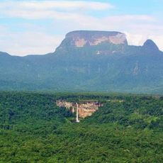
Barima-Waini, Administrative region in northwestern Guyana

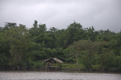
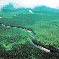
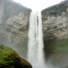
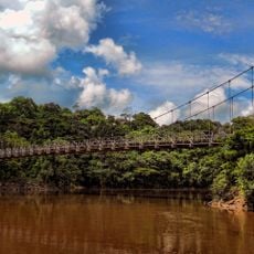
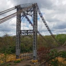
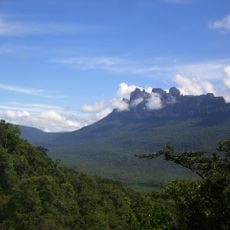
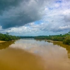
Barima-Waini is an administrative region in northwestern Guyana with dense forests, river systems, and coastal areas stretching between the Atlantic Ocean and Venezuela's border. The territory is connected by river routes and basic roads, while large sections remain remote and undeveloped.

The region established its administrative center at Morawhanna before shifting to Mabaruma in 1980 due to recurring flood risks in the original location. This relocation shaped infrastructure development for decades afterward.

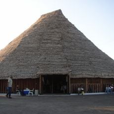
Indigenous communities like the Arecuna and Akawaio keep their traditions alive through crafts, music, and ceremonies practiced in their settlements today. These practices shape daily life and show a deep connection to the land.

Movement through the region relies on river transport and basic roads, requiring careful trip planning and advance preparation. It is wise to arrange supplies and equipment ahead of time and expect limited services in remote areas.

The coast hosts several beaches where sea turtles nest and lay eggs, including Shell Beach, Turtle Beach, and Almond Beach. These breeding grounds are crucial for the survival of these endangered species.

The community of curious travelers

AroundUs brings together thousands of curated places, local tips, and hidden gems, enriched daily by 60,000 contributors worldwide.

Start exploring
Location
Location
Location
Capital city
Mabaruma
Shares border with
Pomeroon-Supenaam, Cuyuni-Mazaruni, Bolívar, Delta Amacuro
GPS coordinates
7.66700,-59.75000
Latest update
December 7, 2025 20:20
« Barima-Waini - Administrative region in northwestern Guyana » is provided by Around Us (aroundus.com). Images and texts are derived from Wikimedia project under a Creative Commons license. You are allowed to copy, distribute, and modify copies of this page, under the conditions set by the license, as long as this note is clearly visible.

Discover hidden gems everywhere you go!

From secret cafés to breathtaking viewpoints, skip the crowded tourist spots and find places that match your style. Our app makes it easy with voice search, smart filtering, route optimization, and insider tips from travelers worldwide. Download now for the complete mobile experience.

Around Us App Screenshot

A unique approach to discovering new places

Le Figaro

All the places worth exploring

France Info

A tailor-made excursion in just a few clicks

20 Minutes

Around Us
Travel Guide & Maps
Download

Send to your phone

QR Code
1

Open the camera app on your mobile.

2

Point at the QR code with your camera. A notification will appear.

3

Tap the notification to open the link.