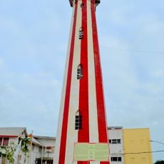
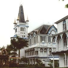
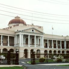
Guayana Esequiba, Disputed territory in western Guyana
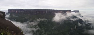
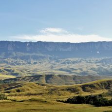
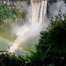
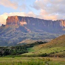
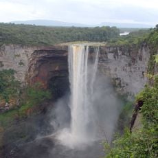
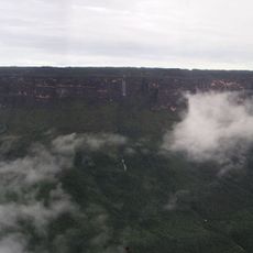
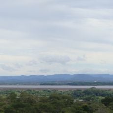
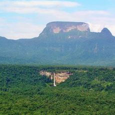
The Essequibo region covers roughly 160,000 square kilometers (about 62,000 square miles) of rainforest, river systems, and highlands between the Essequibo River and the Venezuelan border. The landscape shifts from lowland tropical forest to steep hills and plateaus further south, crossed by waterways that flow toward the Atlantic.
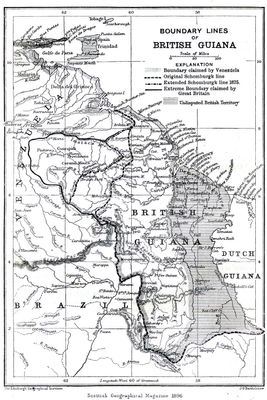
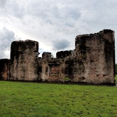
The boundary question began in the mid-1800s when Venezuela challenged British colonial expansion west of the Essequibo River. An international tribunal awarded the land to Britain in 1899, but Venezuela later rejected that ruling and continues to claim the area.
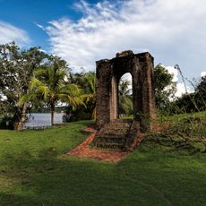
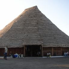
Indigenous groups across remote villages maintain fishing traditions, craft practices, and ceremonies that remain largely unknown to outsiders. Along the rivers and forest edges, local families can be seen building canoes and gathering plants for medicine and food.
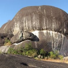
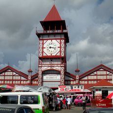
The territory lies far from the main towns of Guyana and is reached mostly by small aircraft, boat, or unpaved roads. Travelers should expect limited infrastructure, tropical weather conditions, and long travel times between communities.
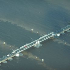
Offshore deposits of oil and gas discovered in recent years lie under Guyanese administration, drawing global attention to the region. A referendum held in Venezuela in late 2023 heightened diplomatic tension and led to renewed legal disputes over sovereignty.
The community of curious travelers
AroundUs brings together thousands of curated places, local tips, and hidden gems, enriched daily by 60,000 contributors worldwide.