Cuyuni-Mazaruni, Administrative region in western Guyana
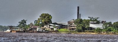
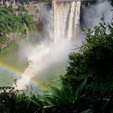
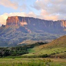
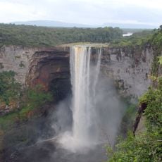
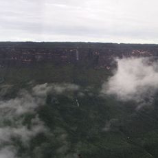
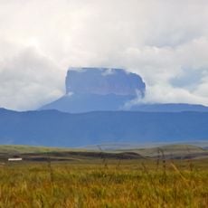
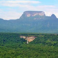
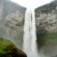
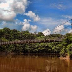
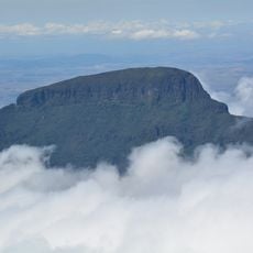
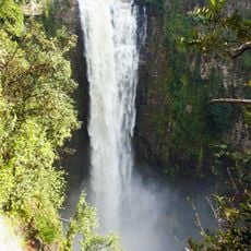
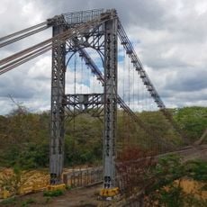
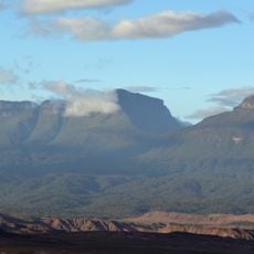
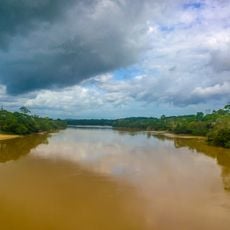
Cuyuni-Mazaruni is an administrative region in western Guyana covering a large territory of dense rainforest where the Cuyuni and Mazaruni rivers converge. The landscape is characterized by thick vegetation, waterways, and remote settlements scattered throughout the area.
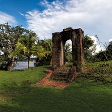
The region was established in 1980 following Guyana's administrative reorganization, with Bartica chosen as its capital. This restructuring reshaped how the western territories were governed and organized.
Indigenous communities maintain traditional practices throughout the region while gold mining activities bring workers from various Caribbean and South American nations.
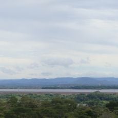
Visitors reach Bartica, the regional capital, via regular boat services from Georgetown or by road through Linden. Travel conditions vary with the season, as river water levels and weather affect accessibility throughout the area.
The territory is subject to border claims between Guyana and Venezuela that are currently being examined by international courts. These disputed boundaries give the region greater geopolitical importance than its remote location might suggest.
Location: Guyana
Location: Venezuela
Location: Guayana Esequiba
Capital city: Bartica
Shares border with: Upper Demerara-Berbice, Potaro-Siparuni, Barima-Waini, Pomeroon-Supenaam, Essequibo Islands-West Demerara, Roraima, Bolívar
GPS coordinates: 6.45952,-60.21108
Latest update: December 10, 2025 16:01
Kaieteur Falls
164.3 km
Kukenán-tepui
154.9 km
Fort Zeelandia
190.8 km
Kaieteur National Park
164 km
Fort Kyk-Over-Al
168.6 km
Monte Roraima National Park
158.5 km
Jasper Creek
198.1 km
Imataca Forest Reserve
136.2 km
Cuquenan Falls
155.6 km
Ptari-tepui
193.2 km
Aponwao Falls
172.8 km
Mount Ayanganna
122 km
Orinduik Falls
194.7 km
Salto Kamá
161.1 km
Ilú–Tramen Massif
146.7 km
Wei-Assipu-tepui
148.5 km
King George VI Falls
131.7 km
Denham Suspension Bridge
170.1 km
Wadakapiapué-tepui
149.7 km
Estación Terrena de Luepa
171.3 km
Karaurín-tepui
150.9 km
Kamarang Great Falls
132.4 km
Pacheco Waterfall
174.2 km
Yuruaní Falls
181.1 km
Suspension bridge over Cuyuní river
157.4 km
Capilla de Santa Teresita
196.4 km
Eastern Tepuis Natural Monument
148.9 km
El Dorado - Tumeremo Forest Reserve
142.3 kmVisited this place? Tap the stars to rate it and share your experience / photos with the community! Try now! You can cancel it anytime.
Discover hidden gems everywhere you go!
From secret cafés to breathtaking viewpoints, skip the crowded tourist spots and find places that match your style. Our app makes it easy with voice search, smart filtering, route optimization, and insider tips from travelers worldwide. Download now for the complete mobile experience.
A unique approach to discovering new places❞
— Le Figaro
All the places worth exploring❞
— France Info
A tailor-made excursion in just a few clicks❞
— 20 Minutes